
 | ||
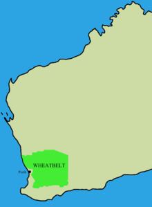
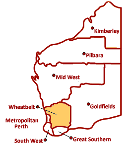
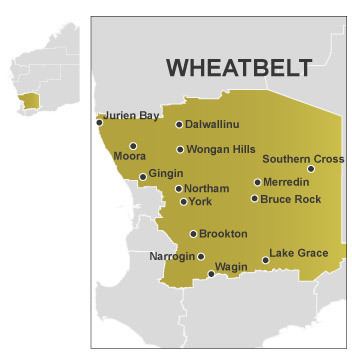
The Wheatbelt is one of the nine regions of Western Australia. It partially surrounds the Perth metropolitan area, extending north from Perth to the Mid West region, and east to the Goldfields-Esperance region. It is bordered to the south by the South West and Great Southern regions, and to the west by the Indian Ocean, the Perth metropolitan area, and the Peel region. Altogether, it has an area of 154,862 square kilometres (59,793 sq mi) (including islands).
Contents
- Ecosystems
- Industryeconomy
- Change
- Transport
- Local government areas
- Sub regions within the Wheatbelt
- Wheatbelt Development Commission
- Tourism regions
- References
The region has 43 local government authorities, with an estimated population of 75,000 residents. The Wheatbelt accounts for approximately three per cent of Western Australia’s population.
Ecosystems
The Wheatbelt encompasses a range of ecosystems and, as a result, there are a range of industries operating in the region.
In the Interim Biogeographic Regionalisation for Australia there are a number of subdivisions such as the Avon Wheatbelt (AVW), and a further breakdown of Avon Wheatbelt P1 (AW1) and Avon Wheatbelt P2 (AW2), Jarrah Forest, Geraldton Sandplain and Mallee regions.
Industry/economy
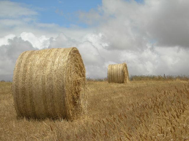
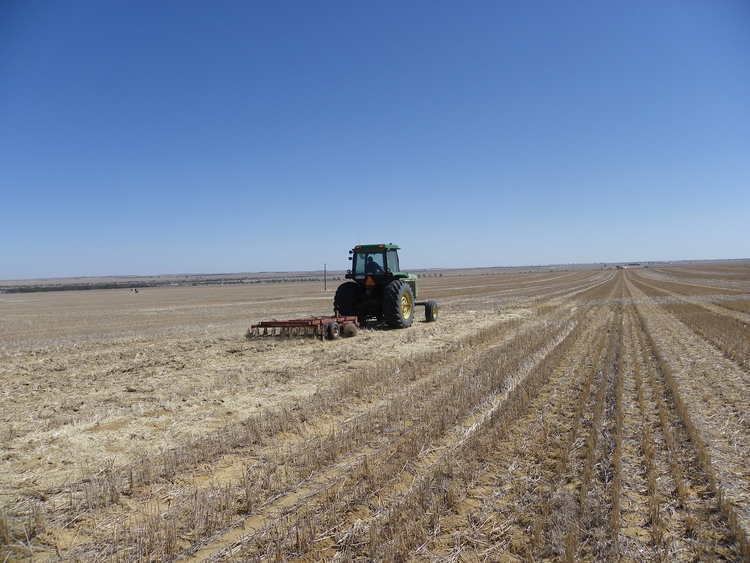
Near the coast, the region receives relatively high rainfall and mild temperatures, and its 150 kilometres (93 mi) of coastline is a significant tourist area. In contrast, the eastern fringe is very arid, and is mainly used for pastoral farming of sheep. Mining of gold, nickel and iron ore also occurs. The remainder of the region is highly suited to agriculture, and is the source of nearly two thirds of the state's wheat production, half of its wool production, and the majority of its lamb and mutton, oranges, honey, cut flowers and a range of other agricultural and pastoral products.
Change
With a range of climate and economic changes in the region, considerable effort is made by government at all levels to cope with the decline of some communities, and create opportunities for ventures that keep population in the region.
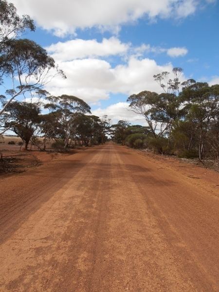
Transport
The Wheatbelt once had an extensive railway system, which transported bulk wheat grain. It has been reduced in part, while the main lines are being supported.
Six main highways radiating out from Perth serve the Wheatbelt: Brand Highway (north-west to Geraldton), Great Northern Highway (north-east to Wyndham), Great Eastern Highway (east to Kalgoorlie), Great Southern Highway (east to York, then south to Cranbrook), Brookton Highway (east-south-east to Brookton), and Albany Highway (south-east to Albany). A network of main roads connects towns within the Wheatbelt to each other, the highways, and neighbouring regions, with local roads providing additional links and access to smaller townsites. Roads are often named after the towns they connect.
Local government areas
The following list is those shires listed in the Wheatbelt as designated by the Wheatbelt Development Commission. Some shires in adjoining regions are traditionally considered part of the Wheatbelt - there are shires in the Great Southern, Goldfields-Esperance and Mid West regions that are dominantly grain growing areas. All but one of the region's local government areas are shires:
Sub-regions within the Wheatbelt
There are numerous subdivisions of the Wheatbelt, and in most cases the separation is by local government areas.
Wheatbelt Development Commission
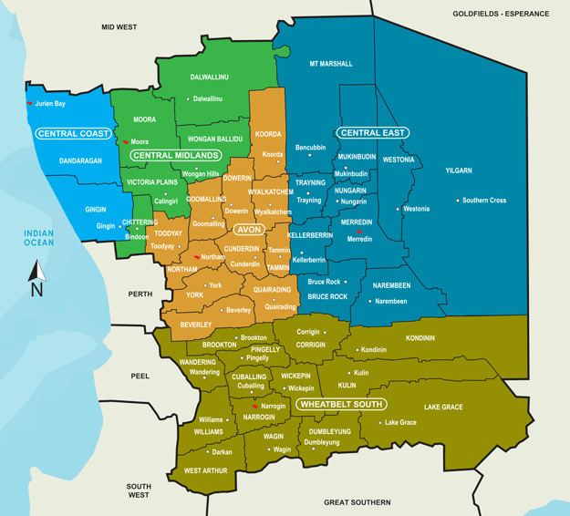
The Wheatbelt Development Commission (WDC) breaks the region up into five sub-regions with five offices:
Tourism regions
In some schemes such as one of the Western Australian tourism regions, all of the Wheatbelt is allocated to the larger Australia's Golden Outback as the Wheatbelt and Wave Rock.
However the shires within the Wheatbelt are in tourist terms further divided into internal regions: