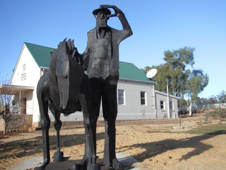
Population 438 (2013 est) Website Shire of Wandering Area 1,901 km² Mayor Graeme Kerr | State electorate(s) Wagin Council seat Wandering | |
 | ||
The Shire of Wandering is a local government area in the Wheatbelt region of Western Australia, and, with a population of 318 as at the 2001 census, is one of the nation's smallest. It covers an area of 1,901 square kilometres (734 sq mi) generally to the east of Albany Highway about 120 kilometres (75 mi) south-east of Perth, the state capital. The Shire's seat of government is the town of Wandering.
Contents
Map of Wandering, WA, Australia
History
The Wandering Road District was gazetted on 6 October 1874 out of land previously managed by the Williams Road Board. On 1 July 1961, it became a shire following the enactment of the Local Government Act 1960.
Wards
The Shire is undivided and is represented by seven councillors.
From 1941 until the 2009 elections, it was divided into four wards as follows:
