
Population 887 (2013 est) President Raymond Harrington Website Shire of West Arthur Area 2,834 km² | Established 1896 Founded 1896 | |
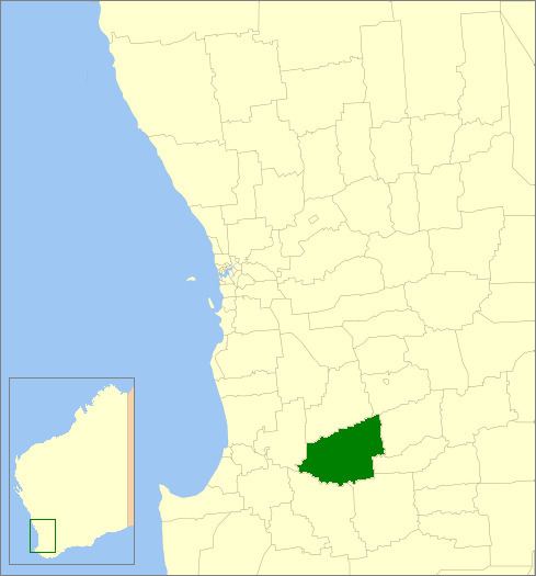 | ||
The Shire of West Arthur is a local government area in the Wheatbelt region of Western Australia, generally to the west of Albany Highway about 200 kilometres (124 mi) south-east of Perth, the state capital. The Shire covers an area of 2,834 square kilometres (1,094 sq mi) and its seat of government is the town of Darkan. Industries within the Shire, worth approximately $45 million per year to the State's economy, are dominated by wool and sheep, and also include timber, grain, forestry, beef, pigs, cattle hide tanning, engineering and earthmoving.
Contents
Map of West Arthur, WA, Australia
History
The West Arthur Road District was created on 10 January 1896. On 1 July 1961, it became the Shire of West Arthur under the Local Government Act 1960. The name relates to its position with respect to the former Arthur Road District, which was renamed to Wagin in 1905.
Wards
The ward system was discontinued on 20 October 2007 and all nine councillors represent the entire shire.
Previously, the shire was divided into four wards: