
Population 471 (2013 est) Mayor Rachel Kirby Area 10,190 km² Council seat Bencubbin | Established 1923 Founded 1923 | |
 | ||
Address 71 Monger St, Bencubbin WA 6477, Australia Hours Closed today SundayClosedMonday9AM–4PMTuesday9AM–4PMWednesday9AM–4PMThursday9AM–4PMFriday9AM–4PMSaturdayClosedSuggest an edit Similar Bencubbin Hotel, Silver Chain Group, The Shire of Trayning, Marshall Rock, Shire of Mukinbud Profiles | ||
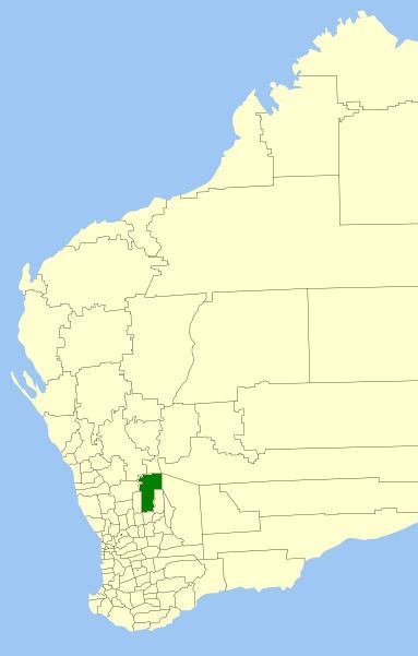
The Shire of Mount Marshall is a local government area in the Wheatbelt region of Western Australia, about 80 kilometres (50 mi) north-northwest of Merredin and about 300 kilometres (186 mi) northeast of the state capital, Perth. The Shire covers an area of 10,190 square kilometres (3,934 sq mi), and its seat of government is the town of Bencubbin.
Contents
History
The area was first discovered by Surveyor General John Septimus Roe, Mount Marshall and Lake McDermott were named after Captain Marshall McDermont, an early settler to the Swan River Colony. The area was first settled by sandalwood collectors and graziers in 1868. Sandalwood was removed from this area from the 1880s until the 1920s. Permanent settlement and the development and clearing of the land for farms commenced around 1910.
In 1923, the Mount Marshall Road Board was gazetted out of areas formerly managed by Ninghan (Trayning) and Nungarin, and on 1 July 1961, it became a shire following changes to the Local Government Act.
Wards
The Shire has no wards and each Councillor represents the entire district of the Shire of Mt Marshall as required by the Local Government Act 1995.