
Population 4,996 (2013 est) Founded 1896 | Established 1896 Area 1,222 km² Mayor Alex Douglas | |
 | ||
The Shire of Chittering is a local government area in the Wheatbelt region of Western Australia, covering an area of about 2,750 square kilometres (1,060 sq mi) just beyond the northeastern fringe of the Perth metropolitan area, generally along and east of the Great Northern Highway. Its seat of government is the town of Bindoon.
Contents
Map of Chittering, WA, Australia
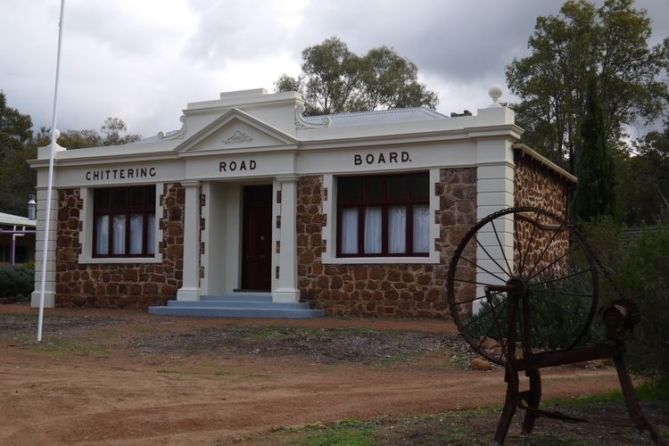
History
On 10 January 1896, the Chittering Road District was created. On 1 July 1961, it became a shire following the enactment of the Local Government Act 1960.
Wards
On 3 May 2003, wards were abolished throughout the shire, and the 7 councillors represent all residents in the shire.
Prior to this, the ward system was as follows:
Towns and localities
References
Shire of Chittering Wikipedia(Text) CC BY-SA