
Population 921 (2013 est) Mayor Geoff Erickson Area 2,569 km² | Established 1871 Founded 1871 Phone +61 8 9628 7004 | |
 | ||
Similar New Norcia Benedicti, New Norcia Hotel, Australia Post ‑ New Norcia LPO, Shire of Goomalling, Boshack Outback ‑ Perth Far Profiles | ||
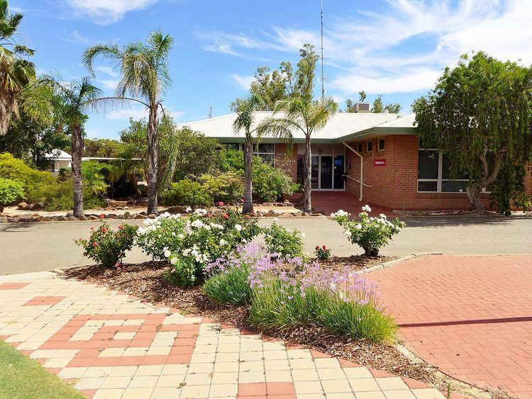
The Shire of Victoria Plains is a local government area in the Wheatbelt region of Western Australia, about 160 kilometres (100 mi) north of the state capital, Perth. It covers an area of 2,569 square kilometres (992 sq mi), and its seat of government is the town of Calingiri.
Contents
History
In 1871, the Victoria Plains Road District was created over an area extending as far north as Carnamah and east to the South Australian border. These areas gradually obtained their own local government over the next 40 years. On 1 July 1961, the area that remained became the Shire of Victoria Plains under the Local Government Act 1960.
Wards
The shire is divided into four wards.
Towns and localities
References
Shire of Victoria Plains Wikipedia(Text) CC BY-SA