
Population 992 (2013 est) Founded 1906 | Established 1906 Area 1,602 km² Mayor Barry Coote | |
 | ||
Shire of brookton
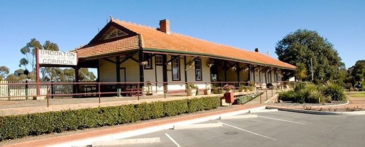
The Shire of Brookton is a local government area in the Wheatbelt region of Western Australia, about 140 kilometres (87 mi) southeast of Perth, the state capital. The Shire covers an area of 1,602 square kilometres (619 sq mi) and its seat of government is the town of Brookton.
Contents
Map of Brookton, WA 6306, Australia
The local economy, worth approximately $25 million per year to the state economy, is based on agriculture - predominantly cereal grains and sheep.
History
On 10 September 1906, the Brookton Road Board met for the first time after Mr Samuel Williams led a move by local landowners to break away from the Beverley Road District. On 1 July 1961, it became the Shire of Brookton under the Local Government Act 1960.
Wards
The shire presently is undivided and has 7 councillors. Prior to the 2009 local government election, it was divided into three wards as follows: