
Population 928 (2013 est) President John Cowcher Area 2,306 km² | Established 1871 Founded 1871 | |
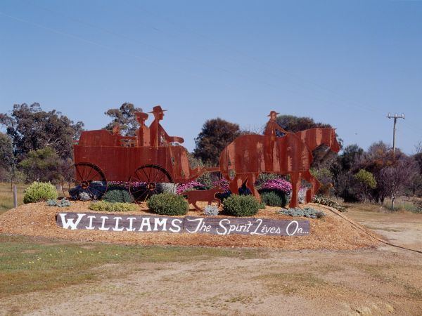 | ||
The Shire of Williams is a local government area in the Wheatbelt region of Western Australia, about 161 kilometres (100 mi) southeast of the state capital, Perth. The Shire covers an area of 2,306 square kilometres (890 sq mi), and its seat of government is the town of Williams.
Contents
Map of Williams, WA, Australia
History
The Williams Road District was created in 1871 as one of the first regional local government areas in Western Australia. On 1 July 1961 it became a shire following the enactment of the Local Government Act 1960.
Wards
Until 2002, the Shire was divided into 3 wards - North West (1), North East (1) and Central (3). On 3 May 2003 all wards were abolished and councillors sit at large.
Towns and localities
Notable councillors
References
Shire of Williams Wikipedia(Text) CC BY-SA