
Population 3,581 (2013 est) Area 2,133 km² | Established 1871 Founded 1871 Federal division Division of Pearce | |
 | ||
Shire of york
The Shire of York is a local government area in the Wheatbelt region of Western Australia, covering an area of 2,133 square kilometres (824 sq mi) just beyond the eastern fringe of Perth's metropolitan area. The Shire's seat of government is the town of York.
Contents
- Shire of york
- Map of York WA 6302 Australia
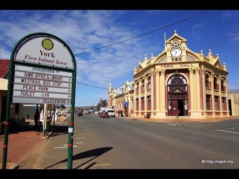
- Shire of york first inland settlement walkabout perth australia
- History
- Wards
- Towns and localities
- Notable councillors
- References
Map of York, WA 6302, Australia
Shire of york first inland settlement walkabout perth australia
History
In 1871, the York Road District and the Municipality of York were gazetted as two separate entities. On 1 July 1961, they became respectively the Shire of York and the Town of York under the Local Government Act 1960. The two entities merged on 15 March 1965.
Wards
The council was previously split into three wards - Town (4 councillors), West (2 councillors) and East (3 councillors) - but these were abolished and an election for 6 councillors for the entire Shire was held on 6 May 2006.
Towns and localities
Notable councillors
References
Shire of York Wikipedia(Text) CC BY-SA