
Population 1,042 (2013 est) Founded 1925 Mayor Brian Young | Established 1925 Area 7,376 km² | |
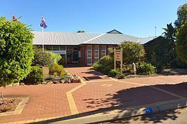 | ||
The Shire of Kondinin is a local government area in the Eastern Wheatbelt region of Western Australia, about 300 kilometres (186 mi) east of the state capital, Perth. The Shire's land area of 7,376 square kilometres (2,848 sq mi) forms a narrow east-west band, located between the Shire of Narembeen to the north and the Shire of Kulin to the south. Its seat of government is the town of Kondinin.
Contents
History
The Kondinin Road District was formed from the portions of the Roe (Kulin), Corrigin and Narembeen Road Districts on 19 June 1925. The first election was held on 5 September 1925, with the first meeting taking place in the Kondinin Hall a week later. On 1 July 1961, it became a shire under the Local Government Act 1960.
Wards
The shire was previously divided into four wards, however these were abolished in 2004. All eight councillors sit at large.