
Population 4,686 (2013 est) Shire President David Dow Area 1,694 km² | Established 1871 Founded 1871 | |
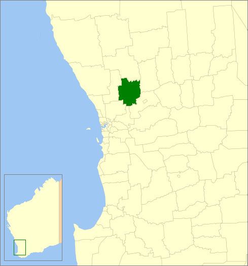 | ||
The Shire of Toodyay is a local government area in the Wheatbelt region of Western Australia, beyond the north-eastern limits of the Perth metropolitan area. The Shire covers an area of 1,694 square kilometres (654 sq mi), and its seat of government is the town of Toodyay.
Contents
History
In 1871, the Toodyay Road District was gazetted, and in 1877, the Municipality of Newcastle followed. The latter was abolished and merged in 1912, and on 1 July 1961, Toodyay became a shire under the Local Government Act 1960.
Wards
The Shire has been divided into 4 wards, since the Toodyay Road board meeting in June 1904.
Towns and localities
References
Shire of Toodyay Wikipedia(Text) CC BY-SA