
Population 1,195 (2013 est) Website Shire of Pingelly Area 1,295 km² State electorate(s) Wagin Federal division Division of Pearce | Established 1891 Founded 1891 Council seat Pingelly Mayor Shirley Lange | |
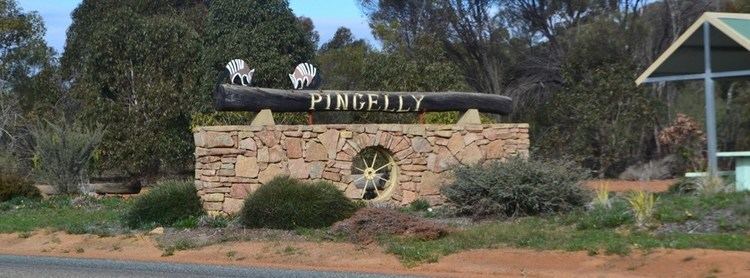 | ||
The Shire of Pingelly is a local government area in the Wheatbelt region of Western Australia, about 160 kilometres (99 mi) southeast of the state capital, Perth, between the Shires of Brookton and Cuballing along the Great Southern Highway. The Shire covers an area of 1,295 square kilometres (500 sq mi), and its seat of government is the town of Pingelly.
Contents
History
On 24 December 1891, the Morambine Road District was created. On 21 February 1913, it was renamed Pingelly. On 1 July 1961, it became a Shire following enactment of the Local Government Act 1960.
Wards
From 20 October 2007, Pingelly is no longer divided into wards, and its 8 councillors represent the entire shire.
The ward systems created under successive divisions were as follows:
Towns and localities
Notable councillors
References
Shire of Pingelly Wikipedia(Text) CC BY-SA