
Population 884 (2013 est) President Leigh Ballard Website Shire of Narrogin Area 1,619 km² Council seat Narrogin | Established 1892 Founded 1892 | |
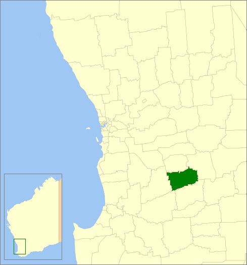 | ||
The Shire of Narrogin is a local government area in the Wheatbelt region of Western Australia, about 190 kilometres (118 mi) south-east of the state capital, Perth. The seat of government is in the town of Narrogin. Until 2016, when the two entities merged, the Narrogin townsite was governed by a separate local government area, the Town of Narrogin.
Contents
Map of Narrogin, WA, Australia
History
In 1892, the Narrogin Road District came into being. On 1 July 1961, it became a Shire under the Local Government Act 1960. In 1999 and 2004, proposals to merge the Shire with the Town of Narrogin were defeated at referendum. In 2016, on July 1, the Shire of Narrogin amalgamated with the Town of Narrogin. The new entity retained the designation of Shire.
Wards
The shire had four wards until the 2005 election, but they have since been abolished. Seven councillors now sit at large.