
Life span? → Capital Nablus | ||
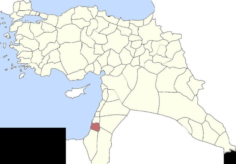 | ||
The District of Nablus also known as the Sanjak of Nablus is an administrative area that existed throughout Ottoman rule of Ottoman Syria and to a lesser extent during British rule.
Contents
Early Ottoman rule
In the 1596- daftar, the Sanjak of Nablus contained the following subdivisions and villages/town:
Nahiya Jabal Sami
Nahiya Jabal Qubal
Nahiya Qaqun
Nahiya Bani Sa'b
Later Ottoman rule
In the 19th century, it consisted of nearly 113 towns and villages, in addition to the city of Nablus. From the 17th to the early 20th century it maintained its autonomy of Ottoman rule, mostly due to the mountainous terrain and Nablus's strategic location between Mount Ebal and Mount Gerizim. The rulers of the district composed of several Arab families, some originating from northern Syrian cities, some from Balqa and others were indigenous to Nablus. The primary noble families were the Tuqan, Jarrar, Abd al-Hadi, Jayyusi, Nimr, Rayyan, Qasim, At'ut, al-Hajj Muhammad, Ghazi and Jaradat. Sanjaq Nablus comprised five nahiyas ("subsdistricts"): Jamma'in East (21 villages), Jamma'in West (25 villages), Mashariq Nablus (20 villages), Wadi al-Sha'ir (23 villages) and Sha'rawiyya (24 villages). Jamma'in East was headed by the Qasim clan, Jamma'in West by the Rayyan, Wadi al-Sha'ir by the Sayf and al-Ahfa clans, Mashariq Nablus by the Hajj Muhammad clan and Sha'rawiyya by the Abd al-Hadi clan. The Tuqan, Nimr and Abd al-Hadi families controlled Nablus.
The District of Nablus was economically active in growing olives which they used to produce olive oil, olive wood baskets and Nabulsi soap. Cotton was also a major cash crop. Most economic activity was based in Nablus, however the surrounding towns and villages supplied the crude product. The ruling families completely controlled all production soap and olive oil and the exporting of cotton, while the peasantry served as the farmers, laborers and were forced to pay taxes to the families. In return, the ruling families protected the villages and met municipal needs.
During the British Mandate, the Nablus District consisted of all of the present-day Nablus Governorate, southern portions of the Qalqilya Governorate, the entire Tubas Governorate, northern portions of the Salfit Governorate and the northern Jericho Governorate.