
Palestine grid 181/179 Name meaning Salem | ||
 | ||
Weather 25°C, Wind W at 6 km/h, 20% Humidity | ||
Salim (Arabic: سالم) is a Palestinian town in the northern West Bank, located six kilometers east of Nablus and is a part of the Nablus Governorate. Nearby towns include Deir al-Hatab to the northwest, Balata to the west and Beit Furik to the south. According to the Palestinian Central Bureau of Statistics (PCBS), Salim had a population of approximately 5,100 inhabitants in 2006.
Contents
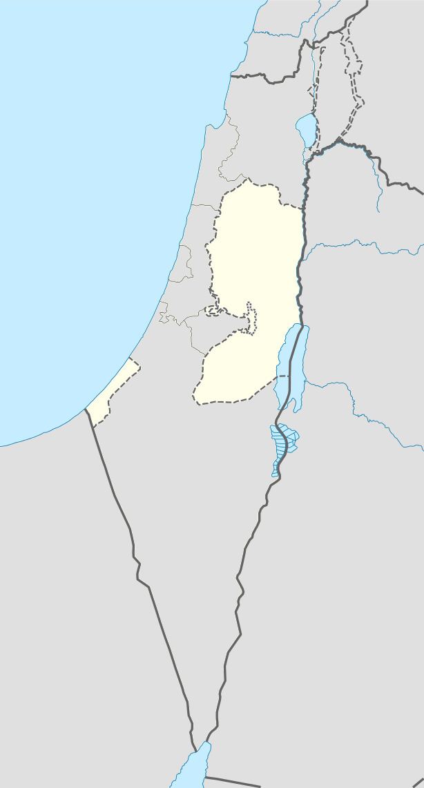
Map of Salem
History
The village is ancient with foundations of houses. In 1882, traces of ruins, cisterns, a ruined tank, and a cemetery of rock-cut tombs were noted.
Salim dates back to the Middle Bronze Age. It was near the ancient Canaanite and later Israelite town of Shechem.
Ottoman era
In 1517, Salim was incorporated into the Ottoman Empire with the rest of Palestine. In 1596, it appeared in Ottoman tax registers as being in the Nahiya of Jabal Qubal of the Liwa of Nablus. It had a population of 42 households, all Muslim. The villagers paid taxes on wheat, barley, summercrops, olives, and goats or beehives, and a press for olives or grapes.
French explorer Victor Guérin came to the village in May 1870, after walking through fields of olives, figs and almond trees. He found a village with a maximum of 200 people, in ancient houses. A dozen cisterns in the village were dry, so the women had to fetch water from a stream, called Ain Salim, about 1 kilometre north-northwest of the village.
In 1882, the Palestine Exploration Fund's Survey of Western Palestine described Salim as a small village, but evidently ancient, surrounded by olive-trees and with two springs to the north.
British Mandate era
In a census conducted in 1922 by the British Mandate authorities, Salem had a population of 423, all Muslims, while in the 1931 census, Salim, including El Hamra, had 100 occupied houses and a population of 490, again all Muslim.
In 1945 Salim had a population of 660, all Muslims, with 10,293 dunams of land, according to an official land and population survey. Of this, 229 dunams were plantations and irrigable land, 5,158 used for cereals, while 24 dunams were built-up land.
1948-1967
During the 1948 war the area was held by units from the Iraqi Army.
In the wake of the 1948 Arab–Israeli War Salim came under Jordanian rule.
Post-1967
After the Six-Day War in 1967, Salim has been under Israeli occupation.