
Palestine grid 163/169 Name meaning The watch | ||
 | ||
Weather 10°C, Wind S at 5 km/h, 75% Humidity | ||
Haris (Arabic: حارس) is a Palestinian town located in the Salfit Governorate in the northern West Bank, 24 kilometers Southwest of Nablus. According to the Palestinian Central Bureau of Statistics, it had a population of 3,427 approximately in mid-year 2007.
Contents
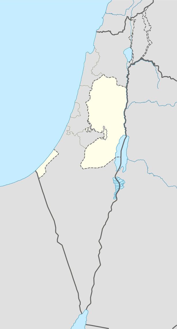
Map of Hares
History
Sherds from the Mamluk era have been found here. In 1359 it is mentioned by Ibn Kadi as a place bought by the Sultan.
Ottoman era
In 1517, the village was included in the Ottoman empire with the rest of Palestine, and potsherds from the early Ottoman period have been found. It appeared in the 1596 tax-records as Harit, located in the Nahiya of Jabal Qubal of the Liwa of Nablus. The population was 21 households, all Muslim. They paid a fixed tax sum of 12,000 Akçe, in addition to taxes on "agnan", bee hives, and occasional revenues; a total of 13,300 Akçe.
In 1870 Guérin observed here a building used as a mosque, divided into three naves separated by marble columns of different sizes, and evidently ancient. 'On a neighbouring Tell, which commands the village, are the ruins of an ancient tower. The spot is now planted with olives. Two ancient tombs and several cisterns cut in the rock once belonged to the ancient city which stood here.'
In 1882, the Palestine Exploration Fund's Survey of Western Palestine (SWP) described Haris as "a medium sized village on high ground built of stone, and supplied by cisterns. It has rock-cut tombs and is probably an ancient site; there are fine olive groves round it."
British Mandate era
In a census conducted in 1922 by the British Mandate authorities, Haris (called: Hares) had a population of 285, all Muslims, increasing in the 1931 census to 394, except for one Christian all were Muslim, in a total of 99 houses.
In 1945 the population was 540, all Muslims, while the total land area was 8,391 dunams, according to an official land and population survey. Of this, 1,545 were used for plantations and irrigable land, 1,341 for cereals, while 21 dunams were classified as built-up areas.
1948-1967
In the wake of the 1948 Arab–Israeli War, and after the 1949 Armistice Agreements, Haris came under Jordanian rule.
Post-1967
After the Six-Day War in 1967, Haris has been under Israeli occupation.
Loss of land
Haris has been directly affected by the construction of the wall on the West Bank and the settlements surrounding Ariel and the Barkan Industrial Park. ARIJ, a Palestinian research institute lists the losses as follows:
In late October 2014, Israel confiscated a further 20 dunams (5 acres) of land, near the Israeli settlement of Barkan.