
Palestine grid 151/159 Name meaning Rentis, personal name | ||
 | ||
Weather 15°C, Wind NW at 11 km/h, 75% Humidity | ||
Rantis (Arabic: رنتيس) is a Palestinian town in the West Bank, located in the northwestern Ramallah and al-Bireh Governorate, 33 kilometers northwest of Ramallah. According to the Palestinian Central Bureau of Statistics, it had a population of 2,900 in mid-year 2006. Its population consists primarily of six clans: Danoun, Wahdan, Khallaf, Ballot, Dar Abo Salim, al-Ryahee and Hawashe.
Contents
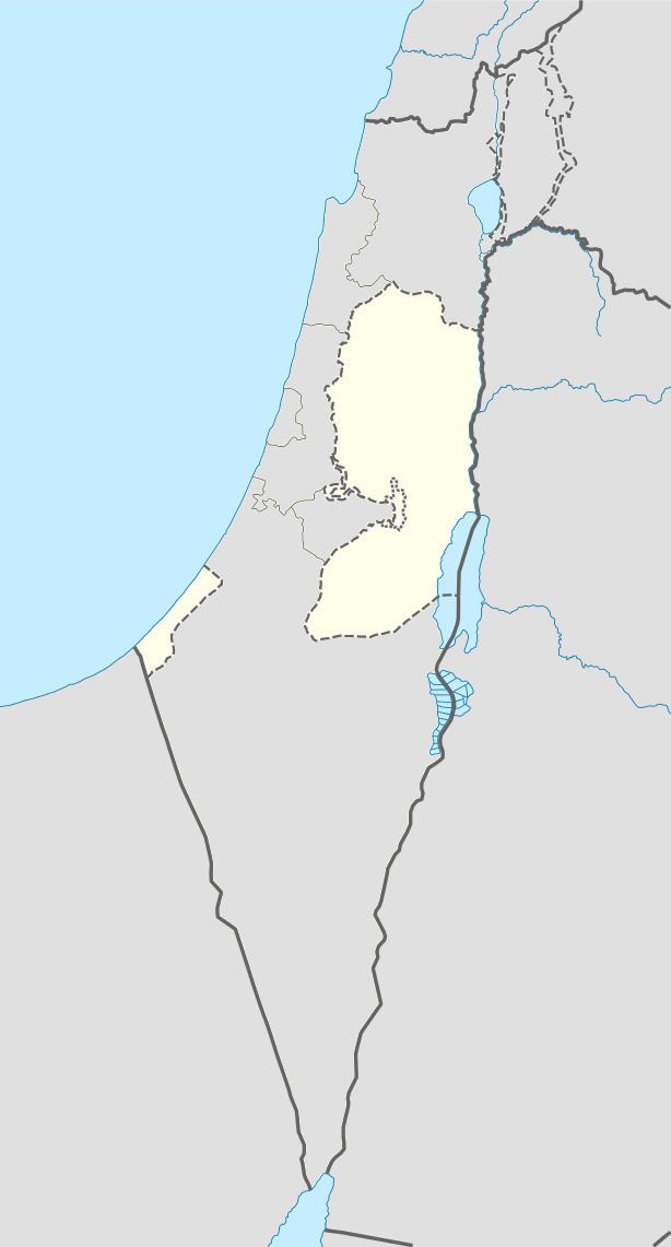
Map of Rantis
Rantis has a land area 11,046 dunams of which 589 dunams are built-up area. The town's main economic sector is agriculture and 20% of its land area is planted with crops. There are two primary schools and two kindergartens. Other facilities include three clinics, a bus station, a club and two mosques.
History
Each of the Gospels mention this town as Arimathea once, and always in association with Joseph of Arimathea — who placed Christ's body in his own tomb. Both Eusebius and Jerome identify Arimathea with the birthplace of Samuel. In the 4th century, Jerome reported that the Holy Paula visited this location. Strong traditions from the Middle Ages buttress this claim, celebrating this town as the prophet's original home. A monastery of Joseph of Arimathea was erected there. Conflicting traditions urge Arimathea's location at modern Rantis, 15 miles east of Jaffa. Other suggestions for Arimathea include ar-Ram and al-Bireh-Ramallah, 5 and 8 miles north of Jerusalem, respectively. The SWP assumed the village was "ancient", as rock-cut tombs were found south-west of the village.
During the Crusader era, it was known as Arimathia, Arimatie, Abarimatie, and Rantis. By 1150, the Premonstratensians were represented in Rentis with a house. In 1159-60 a church in the village was mentioned in Crusader sources.
In 1187 Rantis was conquered by Saladin, and the Crusaders were never able to return.
Ottoman era
Rantis was incorporated into the Ottoman Empire in 1517 with all of Palestine, and in 1596 it appeared in the tax registers as being in the Nahiya of Jabal Qubal of the Liwa of Nablus. It had a population of 20 households and 2 batchelors, all Muslim. The villagers paid taxes on wheat, barley, summer crops, olive trees, goats and/or beehives, and a press for olives or grapes.
The French explorer Victor Guérin visited the village in 1870, and found that it had 400 inhabitants, and that it was surrounded by olives and tobacco-plantations.
In 1882 the Palestine Exploration Fund's Survey of Western Palestine (SWP) described as a village, principally made of adobe, on a slope, surrounded by open ground and a few olives. Water was supplied by cisterns. The SWP assumed the village was "ancient", as rock-cut tombs were found there.
British Mandate era
In a census conducted in 1922 by the British Mandate authorities, Rantis had a population of 824 inhabitants, all Muslims, increasing in the 1931 census to 954, still all Muslims, in a total of 213 houses.
In 1945, the population was 1,280, all Muslims, while the total land area was 30,933 dunams, according to an official land and population survey. Of this, 1,299 were allocated for plantations and irrigable land, 7,341 for cereals, while 30 dunams were classified as built-up areas.
1948-1967
In the wake of the 1948 Arab–Israeli War, and after the 1949 Armistice Agreements, Rantis came under Jordanian rule.
Israeli raid
On 28–29 January 1953 The Israeli military, estimated at 120 to 150 men, using 2-inch mortars, 3-inch mortars, P.I.A.T. (projectors, infantry, anti-tank) weapons, bangalore torpedoes (long metal tubes containing an explosive charge), machine-guns, grenades and small arms, crossed the demarcation line and attacked the Jordanian villages of Falameh and Rantis. At Falameh the mukhtar was killed, seven other villagers were wounded, and three houses were demolished. The attack lasted four and a half hours. Israel was condemned for this act by the Mixed Armistice Commission.
Post-1967
After the Six-Day War in 1967, Rantis has been under Israeli occupation.