
Palestine grid 184/165 | ||
 | ||
Name meaning The watch tower of the Beni Fadil (an Arab clan) Weather 21°C, Wind N at 10 km/h, 29% Humidity | ||
Majdal Bani Fadil (Arabic: مجدل بني فاضل) is a Palestinian town in the Nablus Governorate in northern West Bank, located 23 kilometers (14 mi) southeast of Nablus. According to the Palestinian Central Bureau of Statistics (PCBS), the town had a population of 2,382 inhabitants in 2007.
Contents
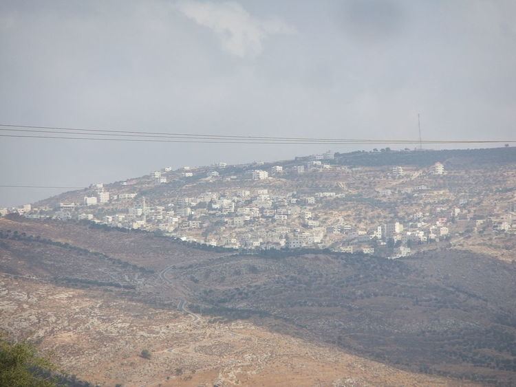
Map of Majdal
Majdal Bani Fadil is under the local administration of a nine-member village council headed by Walid Othman. Most of the village's residents are from the Othman and Zayn ad-Din clans. The main economic activities are herding and agriculture, specifically olives, grapes, prunes and figs. The main road connecting Majdal Bani Fadil to Ramallah and Nablus and Jericho has been closed off to the village since 2000 during the Second Intifada.
Location
Majdal Bani Fadil is located east of Qusra, north of Duma, and south east of Aqraba.
History
Sherds from Iron Age II, Hellenistic/Roman, Byzantine, Crusader/Ayyubid and Mamluk eras have been found here.
Ottoman era
In 1517, the village was included in the Ottoman empire with the rest of Palestine, and potsherds from the early Ottoman period have been found here. It appeared in the 1596 tax-records as Majdal, located in the Nahiya of Jabal Qubal of the Liwa of Nablus. The population was 18 households, all Muslim. They paid a fixed tax rate of 33,3% on agricultural products, such as wheat, barley, summer crops, olive trees, goats and beehives, in addition to occasional revenues and a fixed tax for people of Nablus area; a total of 1,450 Akçe.
In 1870 Guérin noted: "I found here two small and ancient columns. Numerous cisterns, caverns, and rock-cut tombs prove the antiquity of the site, the ancient name of which was doubtless Migdal. I also examined a very curious excavation here, called el Kaf. It is of square form, and measures 26 feet 2 inches on each side. It is three-quarters fallen in, and offers this peculiarity-that those portions of wall still visible are provided on the inside with small niches, some triangular and some vaulted, cut at equal distances and in rows." He further remarked that in the little mosque called Nabi Yahia, there were two antique reused columns.
In 1882, the Palestine Exploration Fund's Survey of Western Palestine (SWP) described it as "a small village on the top of a hill, with olives on the south and west, and a small sacred place on the south-east. On the east are caves, and there are tombs and rock-cut cisterns near the village."
British Mandate era
In the 1922 census of Palestine conducted by the British Mandate authorities, Majdal had a population of 199, all Muslims, increasing in the 1931 census to 310, still all Muslims, in a total of 70 houses.
In 1945 Majdal Bani Fadil had a population of 430 Muslims and a total of 28,022 dunams of land, according to an official land and population survey. Of this, 1,131 dunams were plantations and irrigable land, 6,994 used for cereals, while 36 dunams were built-up land.
1948-1967
In the wake of the 1948 Arab–Israeli War, and after the 1949 Armistice Agreements, Majdal Bani Fadil came under Jordanian rule.
Post-1967
After the Six-Day War in 1967, Majdal Bani Fadil has been under Israeli occupation.