
Palestine grid 156/197 Name meaning Attil, "severe" | ||
 | ||
Weather 18°C, Wind E at 18 km/h, 59% Humidity | ||
Attil (Arabic: عتيل) is a Palestinian town in the Tulkarm Governorate in the eastern West Bank, 12 km (7.5 mi) northeast of Tulkarm. Attil is the connection point between the other villages and Tulkarm. It is bordered by Illar to the east; Baqa ash-Sharqiyya to the north; The Green Line to the west; and Deir al-Ghusun to the south. Mountains surrounding the town include the Nabhan, Aboora, Asad, and Shehadeh mountains. Attil has an elevation of 100 m (330 ft) above Sea level, and an area of 7.337km2.
Contents
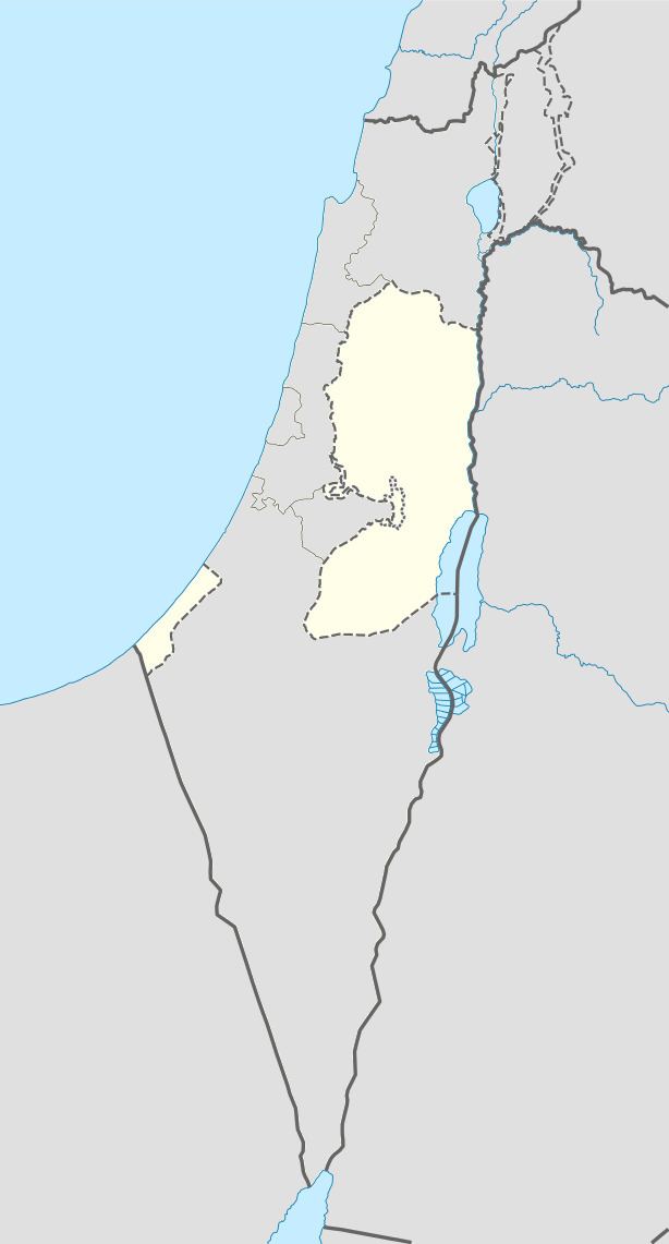
Map of Atil
History
Attil is an ancient village site on a hill at the edge of the plains. Fragmentary mosaic floors and column shafts from a church have been found, together with cisterns dug into the rock, as well as caves.
Ottoman era
Attil, like the rest of Palestine, was incorporated into the Ottoman Empire in 1517, and in the census of 1596 it was a part of the nahiya ("subdistrict") of Jabal Sami which was under the administration of the liwa ("district") of Nablus. The village had a population of 59 households, all Muslim, and paid taxes on wheat, barley, summer crops, olive trees, occasional revenues, beehives and/or goats, and an olive oil press, or press for grape syrup.
In the late Ottoman period, in 1852, the American scholar Edward Robinson described passing by the villages of Zeita and Jatt on the way to 'Attil. Of 'Attil itself, he writes that it was "a considerable village," located on a hill with plains to the north and south.
In 1863, the French explorer Victor Guérin passed by and noted that the village was also called Deir Attil.
In 1882 the Palestine Exploration Fund's Survey of Western Palestine described the village as being of considerable size, situated on a hill on the edge of the plain, and surrounded by a small olive-grove.
British Mandate era
In a census conducted in 1922 by the British Mandate authorities, Attil had a population of 1,656, all Muslims. At the time of the 1931 census of Palestine, Attil, together with Jalama, Al-Manshiyya and Zalafa had a total of 2207 persons, all Muslim except 1 Druze, living in 473 houses.
In 1945 the population of Attil was 2,650, all Muslims, who owned 7,337 dunams of land according to an official land and population survey. 4,011 dunams were plantations and irrigable land, 2,527 used for cereals, while 86 dunams were built-up (urban) land.
1948-1967
In the wake of the 1948 Arab–Israeli War, and after the 1949 Armistice Agreements, Attil came under Jordanian rule.
Post-1967
After the Six-Day War in 1967, Attil has been under Israeli occupation.
Population
Attil had a population of 9,038 in the 2007 census by the Palestinian Central Bureau of Statistics. The majority of its people are expatriates living in Jordan, Gulf, the United States, Europe, and other parts of the world.