
Palestine grid 173/172 Name meaning "The spring of Abus" | ||
 | ||
Weather 13°C, Wind NW at 10 km/h, 81% Humidity | ||
Einabus (Arabic: عينابوس) is a Palestinian village in the northern West Bank, located 12 kilometers (7 miles) south of Nablus and a part of the Nablus Governorate. Nearby towns include Huwara and Beita to the east and Jammain to the south.
Contents
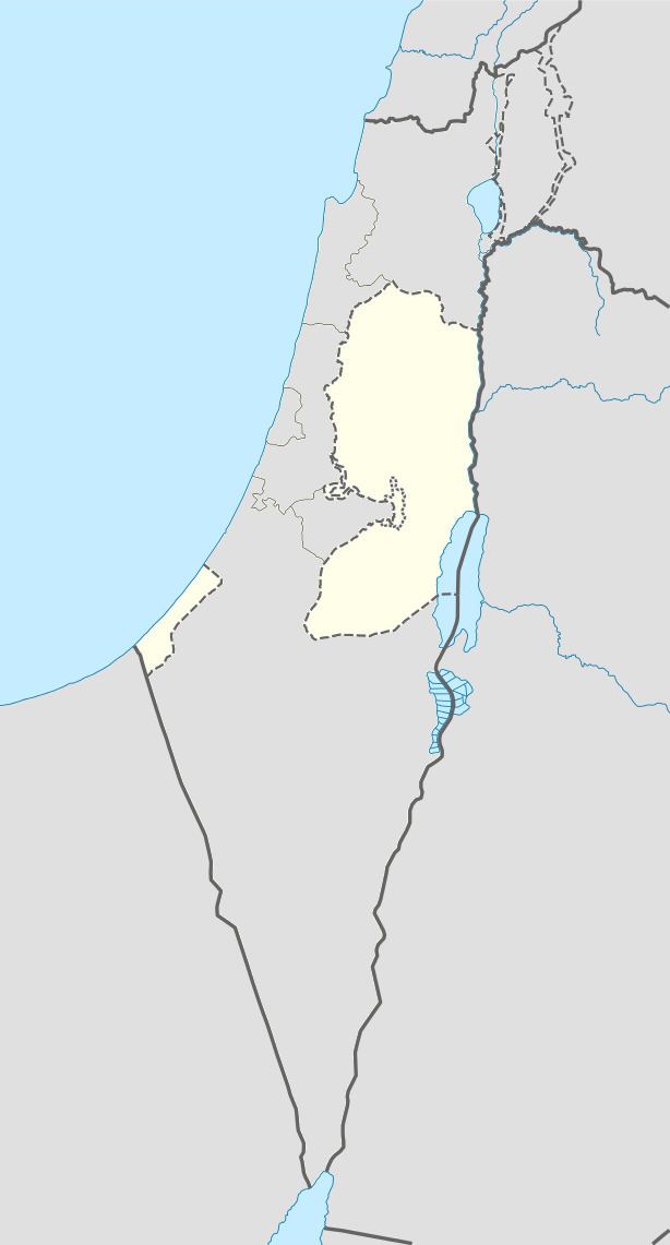
- Map of Einabus
- Archaeology
- History
- Ottoman era
- British Mandate era
- 1948 1967
- Post 1967
- Infrastructure
- Government
- References
Map of Einabus
Archaeology
Tombs dug out of the rocks and ancient cisterns have been found.
History
Potsherds from Middle Bronze Age, LB/IA I, Iron Age II, Persian, Hellenistic, Roman and Crusader/Ayyubid era have been found.
Settlement at Einabus' site dates back to the Jebusite era, however the village's inhabitants are descended Arab tribes that migrated to the area during the Rashidun rule of Palestine. The village's old mosque was built during that time and is dedicated to Umar ibn al-Khattab. Until today, olives and figs remain primary sources of income for the residents of Einabus.
The old mosque, Jama al-Arbain, was inspected in 1928 and 1942, and on a column was found inscribed the name Abdallah and the date 625 (=1227-1228 CE).
Ottoman era
The village was incorporated into the Ottoman Empire in 1517 with all of Palestine, and in 1596 it appeared in the tax registers as being in the Nahiya of Jabal Qubal of the Liwa of Nablus. It had a population of 49 Muslim households and paid taxes on wheat, barley, summercrops, olives, and goats or beehives.
In 1838, Edward Robinson noted it on his travels as a village, named Ain Abus.
In June, 1870, French explorer Victor Guérin found the village to have a spring (after which it was named), and having about 400 inhabitants. Below the village was a valley of olive trees. In 1882, the Palestine Exploration Fund's Survey of Western Palestine described the village (called Ain Abus) as "a small village conspicuous on a low spur of the mountain, with a spring to the west and olives to the south."
British Mandate era
In the 1922 census of Palestine conducted by the British Mandate authorities, 'Ainabus had a population of 227 inhabitants, all Muslims, increasing slightly in the 1931 census to 244, still all Muslim, in a total of 62 houses.
In 1945 the population was 340, all Muslims, with 4,011 dunams (991 acres; 4.011 km2) of land, according to an official land and population survey. Of this, 539 dunams (133 acres; 0.539 km2) were for plantations or irrigated land, 2,107 for cereals, while 29 dunams were built-up land.
1948-1967
In the wake of the 1948 Arab–Israeli War, and after the 1949 Armistice Agreements, Einabus came under Jordanian rule.
Post-1967
After the Six-Day War in 1967, Einabus has been under Israeli occupation.
The village had a population of 1200 in 1987, according to the Palestinian Central Bureau of Statistics, and of 2,340 in 2007.
Infrastructure
There are two girls' secondary schools and one for boys. A charity center founded in 1984 contains a kindergarten and a training center for weaving, and helps college-bound students that are financially unable to enter college to attend. In addition to the old mosque, Einabus has two modern mosques.
Government
Einabus is governed by a village council of seven elected members including the chairman or mayor. In 2005, Nafez Rashdan was elected mayor of Einabus.