
Palestine grid 179/164 Name meaning from personal name | ||
 | ||
Weather 18°C, Wind N at 13 km/h, 32% Humidity | ||
Jalud (Arabic: ﺎﻟﻭﺩ) is a Palestinian village in the Nablus Governorate in the northern West Bank. It is approximately 30 kilometers (19 mi) south of Nablus and is situated just east of Qaryut, south of Qusra and northeast of Shilo, an Israeli settlement. Its land area consists of 16,517 dunams (square kilometers), 98 of which constitutes its built-up area. Jalud is encircled by four illegal outposts: Esh Kodesh, Adi Ad, Ahiya and Shvut Rachel. Jalud residents were blocked by both IDF forces and settlers from tending most of their farms from 2001 to 2007. In 2007 permission was given to farm their groves, twice a year for a few days, on condition that prior coordinating arrangements are made with the IDF.
Contents
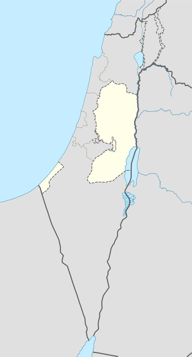
Map of Jalud
History
In 1596, Jalud appeared in Ottoman tax registers as being a village in the nahiya of Jabal Qubal in the liwa of Nablus. It had a population of 20 households, all Muslim. The villagers paid taxes on wheat, barley, summer crops, olive trees, goats and beehives.
In 1870 French explorer Victor Guérin visited the village, which he found to have about 300 inhabitants. In the 1882, Palestine Exploration Fund's Survey of Western Palestine, (SWP), described Jalud as "a small village on low ground, with olives to the south".
British Mandate era
In a census conducted in 1922 by the British Mandate authorities, Jalud had a population of 145, all Muslims, while in the 1931 census it had 52 occupied houses and a population of 225, still all Muslim. In 1945 the population had increased to 300, all Muslims, while the total land area was 15,815 dunams, according to an official land and population survey. Of this, 457 dunams were allocated for plantations and irrigable land, 6,838 for cereals, while 24 dunams were classified as built-up areas.
1948-1967
In the wake of the 1948 Arab–Israeli War, and after the 1949 Armistice Agreements, Jalud came under Jordanian rule.
Post-1967
After the Six-Day War in 1967, Jalud has been under Israeli occupation.
In 2007, Jalud's population was 464 according to the Palestinian Central Bureau of Statistics (PCBS). There were 91 non-residential buildings, 94 houses and five business establishments in the village. The average household size was 5.5 persons. According to Jalud's mayor, the village experiences high unemployment and migration due to land confiscation by Israel and sporadic violence from nearby Israeli settlements, which for 10 years has impeded villagers' access to their groves.
Olive groves
In her 2009 publication entitled Tree Flags, legal scholar and ethnographer, Irus Braverman, describes how Palestinians identify olive groves as "their symbol of their longtime agricultural connection to the land."