
Constituent country England Area 552.4 km² | ||
 | ||
Status Non-metropolitan district Points of interest Destinations | ||
Broadland is a local government district in Norfolk, England, named after the Norfolk Broads. The population of the Local Authority District taken at the 2011 Census was 124,646. Its council is based in Thorpe St Andrew, which is a suburb of the City of Norwich.
Contents
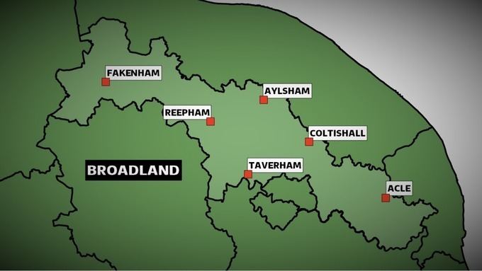
Map of Broadland, UK
In 2013, Broadland was announced as the most peaceful locality within the United Kingdom, having the lowest level of violent crime than anywhere else within the country.
History
The district was formed on 1 April 1974 by the merger of St. Faiths and Aylsham Rural District and part of Blofield and Flegg Rural District.
Politics
The council is currently under Conservative control, as it has been for the majority of its existence, with the exception of two periods of No overall control. The council consists of 47 councillors, elected from 27 wards. After the most recent full council elections held on 7 May 2015, the composition of the council is as follows:
Composition
The district is entirely parished, and is made up of 65 civil parishes. At the time of the 2001 census, the district had an area of 546 square kilometres (211 sq mi), with a population of 118,513 in 50,009 households.
The district contains the following civil parishes:
Climate
Climate in this area has mild differences between highs and lows, and there is adequate rainfall year round. The Köppen Climate Classification subtype for this climate is "Cfb". (Marine West Coast Climate/Oceanic climate).