
Population 4,163 (2011 Census) Civil parish Horsford Area 19.56 km² Dialling code 01603 | OS grid reference TG195165 Sovereign state United Kingdom Local time Tuesday 10:54 PM | |
 | ||
Weather 9°C, Wind SW at 5 km/h, 84% Humidity | ||
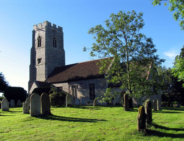
Horsford is a village six miles north of Norwich, England which is surrounded by the Horsford Forest and is named after the dried up section of the River Hor. Its population has seen a steady increase since the Second World War, growing from 750 in 1945 to just under 4000 today (2001 census), increasing to 4,163 at the 2011 Census.
Contents
Map of Horsford, Norwich, UK
There are various explanations of the village name. It is usually said to derive from 'horse ford', but it has also been suggested that it comes from the River Hor on which the village stands (more usually known to locals as 'the Beck'). A third explanation is that it comes from Horsa, the name of a Saxon chief.
The surrounding Horsford Forest has been designated a County Wildlife Site. The rare silver-studded blue butterfly has a colony in this forest.
Sport
The village has produced two footballers of note: Barry Bridges, who returned to Horsford to manage the village team Horsford United, and Chris Sutton.
The Manor Park cricket ground is home to the village team and the Norfolk County Cricket Club.