
Population 193 (2011) Civil parish Oulton Country England Area 10.58 km² District Broadland | OS grid reference TG135284 Region East Sovereign state United Kingdom Shire county Norfolk | |
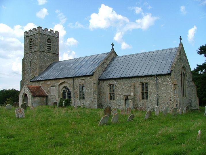 | ||
Oulton is a civil parish in the English county of Norfolk. It covers an area of 10.58 km2 (4.08 sq mi) and had a population of 196 in 74 households at the 2001 census, reducing slightly to a population of 193 in 81 househods at the 2011 Census. For the purposes of local government, it falls within the district of Broadland.
Contents
Map of Oulton, UK
Notable buildings
Oulton Hall is a grade II listed building, parts of the privately owned hall date back to the 18th century. In the spring of 2015, the hall was extensively damaged by fire. The grounds of the hall are occasionally opened to the public for the National Gardens Scheme charity.
References
Oulton, Norfolk Wikipedia(Text) CC BY-SA