
Population 339 (2011) Civil parish Weston Longville Area 11.24 km² | OS grid reference TG112159 Sovereign state United Kingdom Local time Saturday 1:37 PM | |
 | ||
Weather 14°C, Wind SW at 26 km/h, 58% Humidity | ||
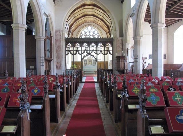
Weston longville corner
Weston Longville is a civil parish in the English county of Norfolk, approximately 8 miles (13 km) north-west of Norwich. Its name is derived from the Manor of Longaville in Normandy, France, which owned the local land in the 12th century. It covers an area of 11.24 km2 (4.34 sq mi) and had a population of 303 in 127 households at the 2001 census, increasing to a population of 339 in 144 households at the 2011 Census. For the purposes of local government, it falls within the district of Broadland.
Contents
- Weston longville corner
- Map of Weston Longville UK
- Weston longville dolls house then hay rack
- History
- References
Map of Weston Longville, UK
Weston longville dolls house then hay rack
History
The Domesday book recorded that this manor was under the ownership of the Bishop of Bayeux.
In Weston Longville, Stigand held one berewick TRE of fifty acres of land and twenty acres of meadow. There have always been six bordars and half a plough although it is i the valuation of Snettisham."
The village was home to the 18th-century clergyman and diarist, Parson Woodforde, in whose honour the village pub is named [1]. He has a reputation as a man with a fondness for food which comes from the much edited published versions of his diaries; the originals provide a rich and unique insight into 18th-century rural English life.
A World War II airfield located in the parish is now a turkey farm. Weston Hall and Park, also in the parish, have a golf course and a tourist attraction, the Dinosaur Adventure Park.