
Population 3,316 (2011) Civil parish Blofield Area 9.41 km² | OS grid reference TG333097 Sovereign state United Kingdom Local time Sunday 4:32 AM | |
 | ||
Weather 6°C, Wind SW at 23 km/h, 83% Humidity | ||
Blofield is the village and civil parish in the Broadland district of Norfolk, England. The parish includes Blofield and the hamlets of Blofield Heath and Blofield Corner and, according to the 2001 census, had a population of 3,221, increasing to 3,316 at the 2011 Census. It is on the A47, five miles (8 km) east of Norwich and 14 miles (23 km) west of Great Yarmouth. Since construction of a bypass in 1982, the A47 no longer passes through the village.
Contents
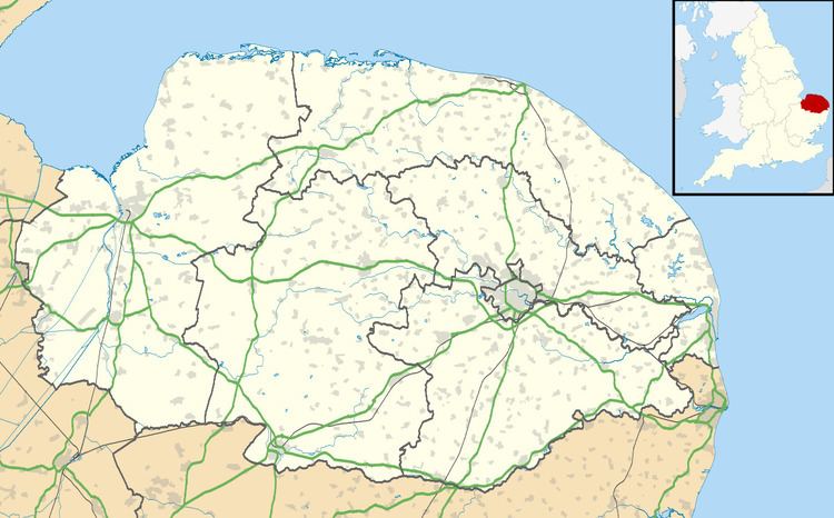
Map of Blofield, Norwich, UK
History
Mentioned in the Domesday Book as Blafelda and Blauuefelde, Blofield has a long history. There are a number of theories regarding the origins of its name, which may derive from the Anglo-Saxon for blue Blech or Bleo, blossom Bloo or blow Blowan, along with the word for field Feld. The oldest building in the village is the Parish Church of St Andrew and St Peter, built sometime between 1420 and 1444, and largely replacing an earlier Norman structure. Large in size, it reflects the prosperity of the wool trade over this period!
Blofield today
Village amenities include the recently re-opened and refurbished Kings Head public house, Blofield County Primary School, a doctors surgery, a library, scout hut, newsagent, post office/convenience store, fish and chip shop, florist, hairdresser, an outdoor leisure and camping store, a farm shop and a solicitor's office. Sporting and social facilities are also provided by The Margaret Harker Hall and Blofield Court House constitute the meeting place for a number of village groups, such as the Women's Institute (which was formed in 1918, and claims to be the oldest in Norfolk), Guides, badminton club, slimming groups and playgroup for children of pre-school age. The Court House also hosts regular film shows showing recent releases usually on the first or second Friday of every month. During the day it is served by the hourly 15 bus to Norwich operated by First Norfolk & Suffolk; there is no service in the evenings or on Sundays. The nearest railway station is about a mile away, in the village of Brundall. Blofield Heath has one Indian restaurant, The Tamarind, and a post office/convenience store. Heathlands Community Centre is a focal point for social activities and the village also has a primary school, Hemblington County Primary. A pre-school playgroup also operates from Heathlands.
Sport & Leisure
Blofield has two Non-League football clubs:
Blofield United Youth FC have their home ground at Heathlands, in Blofield Heath.
Sporting facilities are provided by the local tennis club and by The Margaret Harker Hall and Blofield Court House