
Population 989 (2011) Civil parish Hainford Area 6.94 km² | OS grid reference TG229188 Sovereign state United Kingdom Dialling code 01603 | |
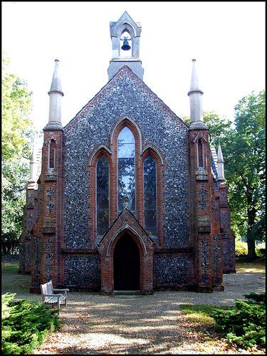 | ||
Hainford (originally Haynford) is a village and civil parish in the English county of Norfolk. It covers an area of 6.94 km2 (2.68 sq mi) and had a population of 951 in 365 households at the 2001 census,increasing to a population of 989 in 391 households at the 2011 Census. For the purposes of local government, it falls within the district of Broadland.
Contents
Map of Hainford, UK
Location
Hainford is situated close to the A140. The village is bordered by Hevingham to the North. Buxton to the North East.Frettenham to the East. Spixworth to the south east. Newton & Horsham St Faith to the South. Horsford to the West and Stratton Strawless to the North West.
Transport
Hainford is located near to the A140 which runs from Ipswich to Cromer via Norwich with its junction with the B1354 which for the second section of its route runs from Hainford to Hoveton (near Wroxham).
Sanders Coaches operate a regular service from Norwich to Reepham via Hainford with other services from Norwich to Sheringham during peak times.
The nearest National Rail station is Hoveton and Wroxham approximately 7 miles away.
Services
The only pub in Hainford is The Chequers which serves food and drink. The pub was the victim of a fire in 1987 in which a fireman lost his life.
There is a local primary school within the Village for children aged 4-11 years old. Children from 11+ attend either Sprowston Community High School or Aylsham High School
A scrap metal yard is located in the village at the location of the derelict house Hainford Hall. The Hall is said to be Haunted.