
Population 209 (2011) Civil parish Wood Dalling Country England Area 9.89 km² Local time Wednesday 12:21 PM | OS grid reference TG089270 Region East Sovereign state United Kingdom Shire county Norfolk District Broadland | |
 | ||
Weather 11°C, Wind NW at 24 km/h, 60% Humidity | ||
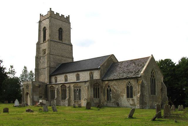
Wood Dalling is a village and civil parish in the English county of Norfolk. It is situated some 20 kilometres (12 mi) east of Fakenham, 20 km (12 mi) south-west of Cromer, and 30 km (19 mi) north-west of Norwich.
Map of Wood Dalling, UK
The civil parish has an area of 9.89 km2 (3.82 sq mi) and in the 2001 census had a population of 181 in 78 households, increasing to a population of 209 in 91 households at the 2011 census. For the purposes of local government, the parish falls within the district of Broadland.
References
Wood Dalling Wikipedia(Text) CC BY-SA