
Country India Area 63.44 km² | Time zone IST (UTC+5:30) Lok Sabha constituency Sreerampur, Hooghly Literacy 59.6% | |
 | ||
Chanditala II is a community development block that forms an administrative division in Srirampore subdivision of Hooghly district in the Indian state of West Bengal.
Contents
Overview
Hooghly district forms a part of the flat alluvial plains of the lower Gangetic delta. It lies on the western bank of the Hooghly, a distributary of the Ganges. The river bank of the Hooghly is heavily industrialised. The Dwarakeswar, in the western part of the district, forms the dividing line between the uplands and the plains. It is subsequently joined by the Shilabati to form the Rupnarayan, flowing along the western boundary of the district. The Damodar intersects the district. Human intervention in the form of construction of roads and railways and flood control measures have affected the topography. Urbanisation and industrialisation has altered land use pattern of the district. With a very high density of population (1,601 per km2), about 66% of the population live in the rural areas. In 2001, Hindus formed 83.63% of the population followed by Muslims, who formed 15.14% of the population. The Scheduled Castes and Scheduled Tribes together constituted 43% of the population.
Location
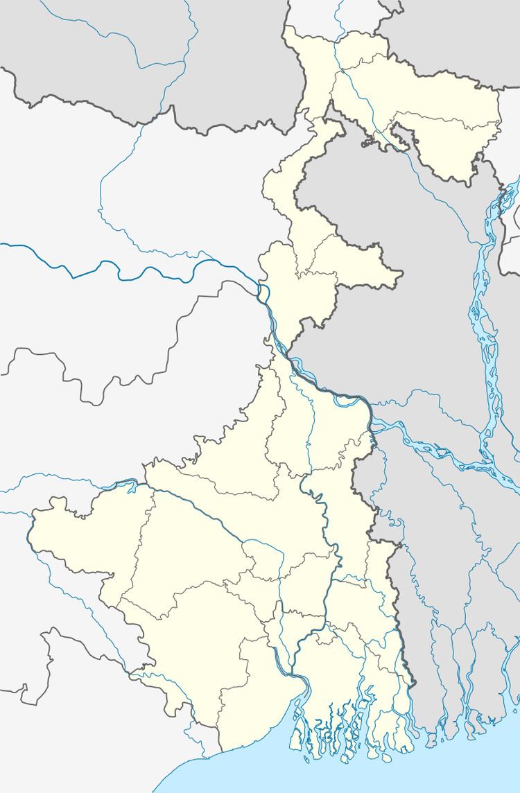
Chanditala is located at 22°41′32″N 88°15′35″E.
Chanditala II CD Block is bounded by Singur CD Block in the north, Sreerampur Uttarpara CD Block in the east, Domjur CD Block, in Howrah district, in the south and Chanditala I CD Block in the west.
It is located 31 km from Chinsurah, the district headquarters.
Area and administration
Chanditala II CD Block has an area of 63.44 km2.Chanditala and Dankuni police stations serve this CD Block. Chanditala II panchayat samity has 12 gram panchayats. The block has 35 inhabited villages. Headquarters of this block is at Chanditala.
Gram panchayats
Gram panchayats of Chanditala II block/ panchayat samiti are: Baksha, Begampur, Borijhati, Chanditola, Garalgachha, Janai, Kapasaria, Naity and Panchghora.
Population
As per 2011 Census of India Chanditala II CD Block had a total population of 158,396, of which 48,894 were rural and 109,502 were urban. There were 79,831 (50%) males and 78,565 (50%) females. Population below 6 years was 14,690. Scheduled Castes numbered 24,099 and Scheduled Tribes numbered 1,586.
As per 2001 census, Chanditala II block had a total population of 213,455, out of which 108,893 were males and 104,562 were females. Chanditala II block registered a population growth of 20.95 per cent during the 1991-2001 decade. Decadal growth for Hooghly district was 15.72 per cent. Decadal growth in West Bengal was 17.84 per cent.
Census Towns, large villages and other villages
Census Towns in Chanditala II CD Block (2011 census figures in brackets) : Kharsarai (6,247), Tisa (4,882), Kapashanria (5,148), Jaykrishnapur (5,180), Purba Tajpur (7,035), Begampur (10,487), Baksa (6,432), Panchghara (8,428), Chikrand (10,375), Janai (12,837), Pairagachha (4,703), Naity (Naiti) (6,996), Barijhati (7,136), Garalgachha (5,411) and Krishnapur (8,205).Mrigala and Monoharpur.#
.# These two were mentioned as Census Towns in 2001 census, but not included in 2011 census.
Large village (4,000+ population) in Chanditala II CD Block (2011 census figure in brackets): Kalachhara (4,225).
Other villages in Chanditala II CD Block (2011 census figures in brackets): Adan (3,785), Bamandanga (2,743), Bankagachha (2,424), Beledanga (3,777), Benipur (1,161), Chanditala (3,984), Danpatipur (1,768), Duttapur (2,285), Eklakhi (1,783), Gokulpur (560), Jagannathbati (1,846), Khanpur (3,427), Khoragari (1,827), Madhabpur (3,982), Makhalpara (113), Okardaha (2,944), Sahana (1,944), Sanka (1,265) and Thero (3,051).
Literacy
As per 2011 census the total number of literates in Chanditala II CD Block was 121,837 (84.78% of the population over 6 years) out of which 63,877 (52%) were males and 57,960 (48%) were females.
As per 2011 census, literacy in Hooghly district was 81.80%. Literacy in West Bengal was 77.08% in 2011. Literacy in India in 2011 was 74.04%.
As per the 2001 census, Chanditala II block had a total literacy of 59.63 per cent. While male literacy was 78.51 per cent, female literacy was 52.43 per cent.
See also – List of West Bengal districts ranked by literacy rate
Language
Bengali is the local language in these areas.
Religion
In 2011 census Hindus numbered 128,853 and formed 81.35% of the population in Chanditala II CD Block. Muslims numbered 29,162 and formed 18.41% of the population. Others numbered 381 and formed 0.24% of the population.
In 2011, Hindus numbered 4,574,569 and formed 82.89% of the population in Hooghly district. Muslims numbered 870,204 and formed 15.77% of the population. In West Bengal Hindus numbered 64,385,546 and formed 70.53% of the population. Muslims numbered 24,654,825 and formed 27.01% of the population.
Human Development Report
The first wave of industrialisation (in Hooghly district, as well as the region) came with the establishment of jute mills along the banks of the Hooghly River long back in the British era. The district has moved from an overwhelmingly rural society with a mere 14.92% of the population living in urban areas in 1901 to a more urban society with 33.47% of the population living in urban areas in 2001. Increasing urbanisation has opened up a broader range of livelihood opportunities. However, in 12 out of the 18 community development blocks in the district the entire population continued to live in the rural areas in 2001. The district presents a unique picture of 12 municipalities surrounded by rural areas.
In the rural areas of the district while 14.95% of the total workers were cultivators, agricultural labourers were 24.31%, thereby indicating the huge pressure on land that outstrips its ownership. In Chanditala II CD Block, while cultivators were 3.14% of the total workers, agricultural labourers formed 7.40%. Household workers formed 9.79% and other workers 79.67%. Up to 30.11.2006 a total of 5,260 hectares of vested agricultural land was distributed amongst 71,643 persons in Hooghly district. Amongst different categories of workers engaged in agriculture in Chanditala II CD Block 6.30% were bargadars, 1.16% patta (ownership document) holders, 12.02% small farmers, 53.09% marginal farmers and 27.43% agricultural workers in 2001. Around 49% of workers in Hooghly district are agricultural labourers and another 21.77% are marginal farmers. Both the groups are much vulnerable. The largest percentage of such vulnerable workers are found in Chanditala II CD Block and the lowest in Chanditala I. Distribution of patta holders is an indicator of the success of land reforms.
Agricultural activities or cultivation is divided into two categories: crop cultivation and plantation (orchards). There is a general belief that plantations are more remunerative. In Chanditala II CD Block 55.87% of the land is used for crop cultivation and 2.84% for orchards. In Chanditala II CD Block 82.96% of the land is sown more than once. Chanditala II CD Block produced 10,150 tonnes of Aman paddy from 3,967 hectares, 4,030 tonnes of Boro paddy from 1,592 hectares, 3,420 tonnes of Jute from 223 hectares and 17,350 tonnes of potatoes from 730 hectares in 2005-06. In Chanditala II CD Block out of the total cultivated area of 4,215 hectares 1,000 hectares is drought prone and 3,000 hectares is flood prone. The irrigation system in Hooghly district is based on five rivers: Hooghly, Damodar, Mundeswari, Darakeswar and Sankari. Erosion of the river banks of these rivers pose a problem in many areas, particularly the Khanakul area.
Hooghly district has the distinction of all mouzas (villages) being electrified by 2005. In Chanditala II CD Block all 36 mouzas were electrified even earlier. However, in Chanditala II CD Block 56.25% of households owned houses with electricity and 61.72% households owned houses with toilets in 2001.
In the rural areas of Hooghly district there are wide variations amongst the CD Blocks regarding families living below poverty line (BPL). The data provided in the table given below is based on a household survey for BPL list carried out by the state government in 2005.
Infrastructure
Chanditala II CD Block had 762 hectares of canals. In 2003-04 Chanditala II had 34.40 km of surfaced roads under PWD, 58.30 km surfaced roads under Zilla Parishad and 102.60 km unsurfaced roads under Zilla Parishad.
Agriculture
Though rice is the prime crop of the district, the agricultural economy largely depends on potato, jute, vegetables and orchard products. Vegetable is a prize crop in the blocks of Haripal, Singur, Chanditala, Polba and Dhaniakhali being grown in a relay system throughout the year. Though potato is cultivated in all the blocks of this district Dhaniakhali, Arambagh, Goghat, Pursurah, Haripal, Polba Dadpur, Tarakeswar, Pandua and Singur contributed much of its production of this district.
Some of the primary and other hats or markets in the Chanditala II CD Block area are: Begumpur hat, Begumpur bazar, Manirmpur hat, Chanditala market, Padkumra hat, Dankuni market, Janai bazar and Tajpur market.
Pisciculture
In Chanditala II CD Block 363.73 hectares was the nett area under effective pisciculture and 5,244 persons were engaged in the profession. Approximate annual production in 2003-04 was 10,311.9 qtl.
Transport
Chanditala II CD Block has 13 originating/ terminating bus routes.
Education
In 2003-04, Chanditala II CD Block had 136 primary schools with 24,970 students, 3 middle schools with 960 students, 11 high schools with 8,424 students and 9 higher secondary schools with 9,606 students. Chanditala II CD Block had 184 institutions with 5,886 students for special and non-formal education.
Healthcare
Chanditala II CD Block had 1 hospital, 2 health centres, 31 clinics and 4 dispensaries with 40 beds and 12 doctors in 2003.