
Vehicle registration WB Population 17,664 (2001) | Time zone IST (UTC+5:30) Website wb.gov.in Local time Tuesday 4:55 AM | |
 | ||
Weather 19°C, Wind E at 5 km/h, 93% Humidity | ||
Mrigala is a census town in Hooghly district in the Indian state of West Bengal. It is under Dankuni police station in Srirampore subdivision.
Contents
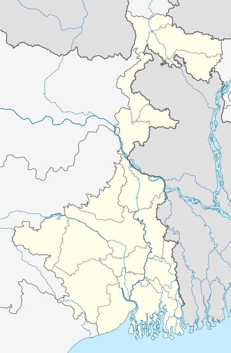
Map of Mrigala, Dankuni, West Bengal
Geography
Mrigala is located at 22.67°N 88.29°E / 22.67; 88.29.
Demographics
As of 2001 India census, Mrigala had a population of 17,664. Males constitute 51% of the population and females 49%. Mrigala has an average literacy rate of 73%, higher than the national average of 59.5%: male literacy is 78%, and female literacy is 67%. In Mrigala, 11% of the population is under 6 years of age.
References
Mrigala Wikipedia(Text) CC BY-SA