
Country India Vehicle registration WB Elevation 12 m Population 4,703 (2011) | Time zone IST (UTC+5:30) Website wb.gov.in Local time Tuesday 1:52 AM | |
 | ||
Weather 21°C, Wind E at 14 km/h, 87% Humidity | ||
Pairagachha is a census town in Chanditala II CD Block in Hooghly district in the Indian state of West Bengal. It is under Chanditala police station in Srirampore subdivision.
Contents
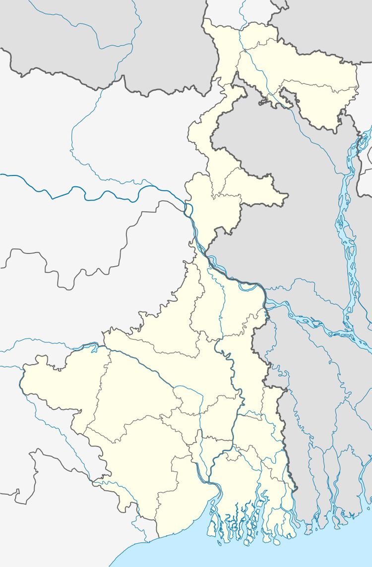
Map of Pairagachha, West Bengal
Geography
Pairagachha is located at 22.70°N 88.27°E / 22.70; 88.27. It has an average elevation of 12 m (39 ft).
Demographics
As per 2011 Census of India Pairagachhi had a total population of 4,703 of which 2,350 (50%) were males and 2,353 (50%) were females. Population below 6 years was 393. The total number of literates in Pairagachhi was 3,844 (89.19 % of the population over 6 years).
As of 2001 India census, Pairagachha had a population of 4,350. Males constitute 50% of the population and females 50%. Pairagachha has an average literacy rate of 80%, higher than the national average of 59.5%: male literacy is 86%, and female literacy is 75%. In Pairagachha, 9% of the population is under 6 years of age.