
Population 1,783 (2011) | Time zone IST (UTC+5:30) Vehicle registration WB | |
 | ||
Jagannathbati (Bengali: জগন্নাথবাঢী ) is a village in Chanditalal–II community development block of Srirampore subdivision in Hooghly District in the Indian state of West Bengal.
Contents
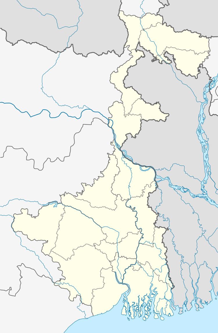
Map of Jagannathbati, West Bengal
Geography
Jagannathbati is located at 22°42′27″N 88°13′13″E . It is located in the Chanditall–II community development block under the Srirampore subdivision of the Hooghly district.Chanditala police station serves this Village.
Roads and transportation
Nearest railway station is Janai Road at Howrah-Bardhaman chord Kolkata Suburban Railway. The main road is SH-15 It is the main artery of the town and it is connected NH-2
References
Jagannathbati Wikipedia(Text) CC BY-SA