Time zone IST (UTC+5:30) Elevation 15 m Local time Thursday 3:27 AM | Population 10,487 (2011) | |
 | ||
Weather 21°C, Wind W at 8 km/h, 85% Humidity | ||
Begampur is a census town in Chanditala II CD Block in Hooghly district in the state of West Bengal, India. It is under Chanditala police station in Srirampore subdivision.
Contents
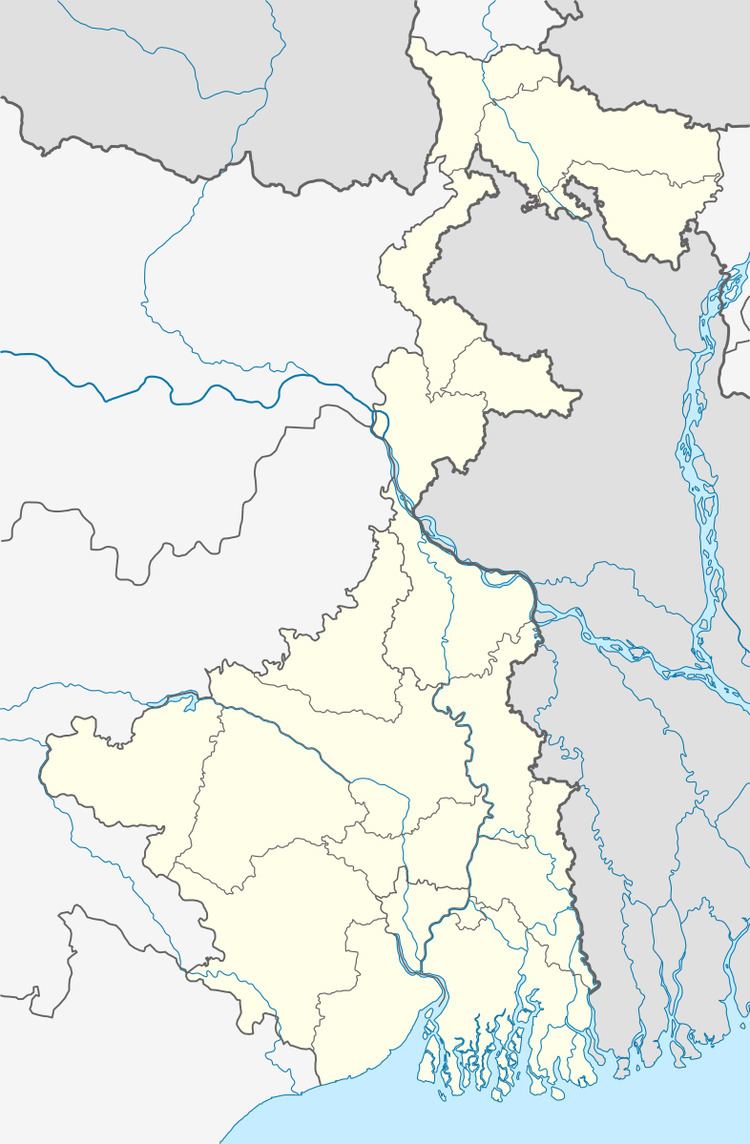
Map of Begampur, Humbirpara, West Bengal
Demographics
As per 2011 Census of India, Begampur had a total population of 10,487 of which 5,405 (52%) were males and 5,082 (48%) were females. Population below 6 years was 802. The total number of literates in Begampur was 8,504 (87.81% of the population over 6 years).
As of 2001 India census, Begampur had a population of 9545. Males constitute 51% of the population and females 49%. Begampur has an average literacy rate of 75%, higher than the national average of 59.5%; with 53% of the literates being male and 47% being female. 9% of the population is under 6 years of age.
Economics
Shantipur, Dhaniakhali, Begampur, and Farasdanga are the main cotton weaving centres in West Bengal which are involved in the weaving of fine-textured saris and dhotis. The saris of Begampur have deep and bright colours. Begampur also produces the gorgeous jamdani saris.
Transport
Begampur is 23 kilometres (14 mi) from Howrah on the Howrah-Bardhaman chord line and is part of the Kolkata Suburban Railway system.
