
Local time Friday 5:10 PM | Time zone IST (UTC+5:30) Vehicle registration WB Population 5,411 (2011) | |
 | ||
Weather 29°C, Wind S at 23 km/h, 73% Humidity | ||
Garalgachha is a census town in Chanditala II CD Block in Hooghly district in the state of West Bengal, India. It is located in Chanditala–II block in Srirampore subdivision and is served by Chanditala police station.
Contents
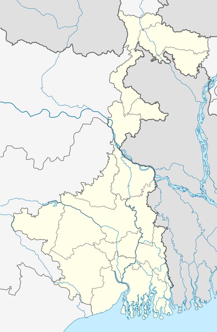
Map of Garalgacha, West Bengal 712708
Geography
Garalgachha is located at 22.68°N 88.27°E / 22.68; 88.27. It is located in the Chanditall–II community development block under the Srirampore subdivision of the Hooghly district. Chanditala police station serves this town.
Demographics
As per 2011 Census of India Garalgachha had a total population of 5,411 of which 2,760 (51%) were males and 2,651 (49%) were females. Population below 6 years was 347. The total number of literates in Garalgachha was 4,763 (94.06 % of the population over 6 years).
As of 2001 India census, Garalgachha had a population of 4,499. Males constitute 52% of the population and females 48%. Garalgachha has an average literacy rate of 86%, higher than the national average of 59.5%: male literacy is 89%, and female literacy is 82%. In Garalgachha, 7% of the population is under 6 years of age.
Education
Among major high schools in Garalgachha 'Garalgachha High School' (established 1896), 'Garalgachha Girls School' and 'Surabala Vidyapith' come top.