
Country India Area 156 km² Literacy 84.1% Area code 03214 | Time zone IST (UTC+5:30) STD 03214 Elevation 16 m Population 276,413 (2011) | |
 | ||
Singur is a community development block that forms an administrative division in Chandannagore subdivision of Hooghly district in the Indian state of West Bengal.
Contents
History
The word “Singur” is believed to a derivative of the word “Singhapur”. In the Sri Lankan Mahavamsa there is mention of two towns – Singhapur and Banganagar, both believed to be located in the ancient Rarh region. Some scholars feel that Singur is the place where ancient Singhapur was located. According to the Sri Lankan chronicles Vijaya, son of Singhabahu, king of Singhapur, sailed from Singhapur, landed in Sri Lanka in 544 BC and became the king. In those days the people of what later came to be called as Bengal were known to be seafaring and the mighty Saraswati used to flow through the Singur area. Therefore, this seems to be feasible according to some scholars, but other scholars feel that it is more hearsay than actual proven history.
Overview
Hooghly district forms a part of the flat alluvial plains of the lower Gangetic delta. It lies on the western bank of the Hooghly, a distributary of the Ganges. The river bank of the Hooghly is heavily industrialised. The Dwarakeswar, in the western part of the district, forms the dividing line between the uplands and the plains. It is subsequently joined by the Shilabati to form the Rupnarayan, flowing along the western boundary of the district. The Damodar intersects the district. Human intervention in the form of construction of roads and railways and flood control measures have affected the topography. Urbanisation and industrialisation has altered land use pattern of the district. With a very high density of population (1,601 per km2), about 66% of the population live in the rural areas. In 2001, Hindus formed 83.63% of the population followed by Muslims, who formed 15.14% of the population. The Scheduled Castes and Scheduled Tribes together constituted 43% of the population.
Location
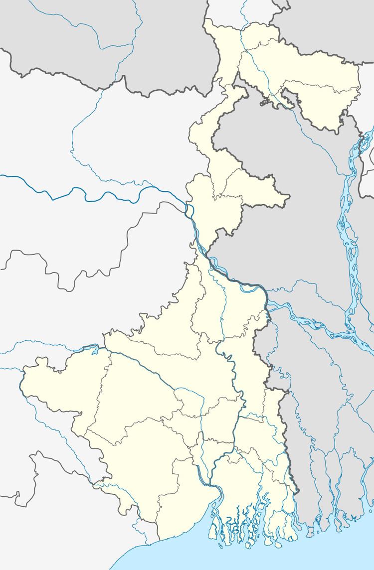
Singur is located at 22°49′N 88°14′E.
Singur CD Block is bounded by Polba Dadpur CD Block in the north, Sreerampur Uttarpara CD Block in the east, Chanditala I and Chanditala II CD Blocks in the south and Haripal CD Block in the west.
It is located 22 km from Chinsurah, the district headquarters.
Area and administration
Singur CD Block has an area of 155.99 km2.Singur and Bhadreswar police stations serve this CD Block. Singur panchayat samity has 15 gram panchayats. The block has 153 inhabited villages. Headquarters of this block is at Singur.
Gram panchayats
Gram panchayats of Singur block/ panchayat samiti are: Anandanagar, Bagdanga-Chinamore, Balarambati, Baruipara-Paltagarh, Basubati, Berabari, Bighati, Boinchipota, Bora, Borai-Pahalampur, Gopalnagar, Kamarkundu Gopalnagar Doluigachha, Mirjapur-Bankipur, Nasibpur, Singur I and Singur II.
Population
As per the 2011 Census of India Singur CD Block had a total population of 276,413, of which 223,951 were rural and 52,462 were urban. There were 140,334 (51%) males and 136,079 (50%) females. Population below 6 years was 24,276. Scheduled Castes numbered 47,037 and Scheduled Tribes numbered 4,069.
As per the 2001 census, Singur block had a total population of 260,729, out of which 131,286 were males and 129,443 were females. Singur block registered a population growth of -1.65 per cent during the 1991-2001 decade. Decadal growth for Hooghly district was 15.72 per cent. Decadal growth in West Bengal was 17.84 per cent.
Census Towns and large villages
Census Towns in Singur CD Block (2011 census figures in brackets): Balarambati (5,068), Singur (21,382), Nasibpur (7,157), Jagatnagar (5,242), Baruipara (6,737) and Borai (6,522).
Large villages (with 4,000+ population) in Singur CD Block (2011 census figures in brackets): Beraberi (6,810), Gopalnagar (12,232), Dewan Bheri (5,687), Bainchipota (4,019), Atisara (6,113), Daluigachha (4,123), Mirzapur Bankipur (5,842), Shibrambati (4,208), Basubati (4,256), Ramnagar (4,006), Pahlanpur (6,034), Bara Kamalapur (20,047) and Bighati (4,388).
Other villages (2011 census figures in brackets): Anandanagar (3,915), Bajemelia (3,659), Khaser Bheri (790) and Sinher Bheri (1,563).
Literacy
As per 2011 census the total number of literates in Singur CD Block was 211,984 (84.07% of the population over 6 years) out of which 113,548 (54%) were males and 98,436 (46%) were females.
As per 2011 census, literacy in Hooghly district was 81.80%. Literacy in West Bengal was 77.08% in 2011. Literacy in India in 2011 was 74.04%.
As per the 2001 census, Singur block had a total literacy of 60.72 per cent. While male literacy was 79.52 per cent, female literacy was 52.49 per cent.
See also – List of West Bengal districts ranked by literacy rate
Language
Bengali is the local language in these areas.
Religion
In 2011 census Hindus numbered 250,758 and formed 90.72% of the population in Singur CD Block. Muslims numbered 24,665 and formed 8.92% of the population. Others numbered 990 and formed 0.36% of the population.
In 2011, Hindus numbered 4,574,569 and formed 82.89% of the population in Hooghly district. Muslims numbered 870,204 and formed 15.77% of the population. In West Bengal Hindus numbered 64,385,546 and formed 70.53% of the population. Muslims numbered 24,654,825 and formed 27.01% of the population.
Human Development Report
The first wave of industrialisation (in Hooghly district, as well as the region) came with the establishment of jute mills along the banks of the Hooghly River long back in the British era. The district has moved from an overwhelmingly rural society with a mere 14.92% of the population living in urban areas in 1901 to a more urban society with 33.47% of the population living in urban areas in 2001. Increasing urbanisation has opened up a broader range of livelihood opportunities. However, in 12 out of the 18 community development blocks in the district the entire population continued to live in the rural areas in 2001. The district presents a unique picture of 12 municipalities surrounded by rural areas.
In the rural areas of the district while 14.95% of the total workers were cultivators, agricultural labourers were 24.31%, thereby indicating the huge pressure on land that outstrips its ownership. In Singur CD Block, while cultivators were 15.93% of the total workers, agricultural labourers formed 16.58%. Household workers formed 9.35% and other workers 58.13%. Up to 30.11.2006 a total of 5,260 hectares of vested agricultural land was distributed amongst 71,643 persons in Hooghly district. Amongst different categories of workers engaged in agriculture in Singur CD Block 8.36% were bargadars, 2.92% patta (ownership document) holders, 9.86% small farmers, 34.96% marginal farmers and 43.90% agricultural workers in 2001.
Agricultural activities or cultivation is divided into two categories: crop cultivation and plantation (orchards). There is a general belief that plantations are more remunerative. In Singur CD Block 52.59% of the land is used for crop cultivation and 10.67% for orchards, the latter being the highest amongst all CD Blocks Hooghly district. In Singur CD Block 87.18% of the land is sown more than once. Singur CD Block produced 23,250 tonnes of Aman paddy from 8,487 hectares, 6,320 tonnes of Boro paddy from 2,432 hectares, 45,800 tonnes of Jute from 2,726 hectare and 126,130 tonnes of potatoes from 5,729 hectares in 2005-06. In Singur CD Block out of the total cultivated area of 11,134 hectares 1,700 hectares is drought prone and 3,000 hectares is flood prone. The irrigation system in Hooghly district is based on five rivers: Bhagirathi, Damodar, Mundeswari, Darakeswar and Sankari. Erosion of the river banks of these rivers pose a problem in many areas, particularly the Khanakul area.
Hooghly district has the distinction of all mouzas (villages) being electrified by 2005. In Singur CD Block all 108 mouzas were electrified. However, in Singur CD Block 77.99% of households owned houses with electricity (highest in Hooghly district) and 51.27% households owned houses with toilets in 2001.
In the rural areas of Hooghly district there are wide variations amongst the CD Blocks regarding families living below poverty line (BPL). The data provided in the table given below is based on a household survey for BPL list carried out by the state government in 2005.
Infrastructure
Singur CD Block had 6,200 hectares of canals. In Singur CD Block 647.74 hectares was the nett area under effective pisiculture and 3,190 persons were engaged in the profession. Approximate annual production in 2003-04 was 25,785.4 qtl. In 2003-04 Singur had 58.56 km of surfaced roads under PWD, 102.50 km surfaced roads under Zilla Parishad and 203.70 km unsurfaced roads under Zilla Parishad.
Tata Motors at Singur
Singur gained international media attention since Tata Motors started constructing a factory to manufacture their $2,500 car, the Tata Nano at Singur. The small car was scheduled to roll out of the factory by 2008. Land acquisition for the project faced strong political opposition right from the beginning. In October 2008 Tatas announced withdrawal from the project. Six villages – Bajemelia, Beraberi, Gopalnagar, Joymolla, Khaserbheri and Singherberi – were affected by land acquisition.
Agriculture
This is a rich agricultural area with several cold storages.
Though rice is the prime crop of the district, the agricultural economy largely depends on potato, jute, vegetables and orchard products. Vegetable is a prize crop in the blocks of Haripal, Singur, Chanditala, Polba and Dhaniakhali being grown in a relay system throughout the year. Though potato is cultivated in all the blocks of this district Dhaniakhali, Arambagh, Goghat, Pursurah, Haripal, Polba-Dadpur, Tarakeswar, Pandua and Singur contributed much of its production of this district.
Transport
The broad gauge Sheoraphuli–Tarakeswar branch line was opened by the Tarkessur Railway Company on 1 January 1885 and was worked by East Indian Railway Company. The Tarkessur company was taken over by the East Indian Railway in 1915. Singur is a suburban station on the line.
Transport
NH 19 and State Highway 2 (West Bengal) running from Bankura to Malancha (in North 24 Parganas district) pass through this CD Block.
Singur CD Block has 4 originating/ terminating bus routes.
Education
In 2003-04, Singur CD Block had 178 primary schools with 21,462 students, 7 middle schools with 4,015 students, 19 high schools with 16,588 students and 9 higher secondary schools with 11,542 students. Singur CD Block had 252 institutions with 7,581 students for special and non-formal education.
Healthcare
Singur CD Block had 1 hospital, 7 health centres, 36 clinics and 3 dispensaries with 120 beds and 12 doctors in 2003.