
Vehicle registration WB Population 12,837 (2011) | Time zone IST (UTC+5:30) Lok Sabha constituency Serampore | |
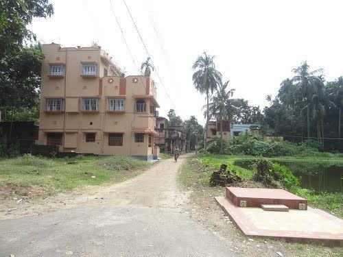 | ||
Janai (Bengali: জনাই ) is a census town in Hooghly district in the state of West Bengal, India. It is located in Chanditala–II block in Srirampore subdivision and is served by Chanditala police station.
Contents
Map of Janai, West Bengal
Geography
Janai is located at 22.7157°N 88.2426°E / 22.7157; 88.2426.It is located in the Chanditall–II community development block under the Srirampore subdivision of the Hooghly district. Chanditala police station serves this town.
Demographics
As per 2011 Census of India, Janai had a total population of 12,837 of which 6,423 (50%) were males and 6,414 (50%) were females. Population below 6 years was 1,203. The total number of literates in Janai was 10,190 (87.59 % of the population over 6 years).
Transport
Janai Road railway station is 21 kilometres (13 mi) from Howrah on the Howrah-Bardhaman chord line and is part of the Kolkata Suburban Railway system.
Important schools
Janai Training High Sshool Established in Year : 1850 Management : Dept. of Education Coeducation: Co-Educational. Medium of Instruction: Bengali .