
 | ||
Architects of the National Park Service are the architects and landscape architects who were employed by the National Park Service (NPS) starting in 1918 to design buildings, structures, roads, trails and other features in the United States National Parks. Many of their works are listed on the National Register of Historic Places, and a number have also been designated as National Historic Landmarks.
Contents
- Works
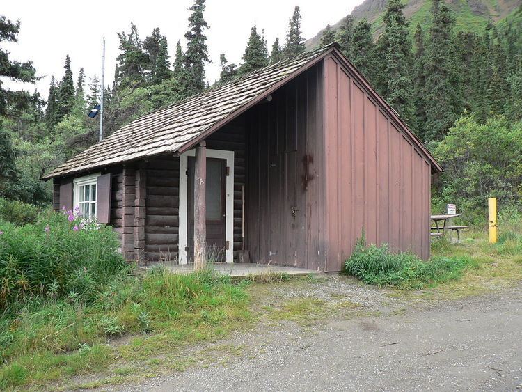
- Denali National Park and Preserve
- Grand Canyon National Park
- Other
- Yosemite National Park
- Sequoia National Park
- Lassen Volcanic National Park
- Rocky Mountain National Park
- Colorado National Monument
- Florida
- Minnesota
- Arrow Rock State Historic Site
- Lake of the Ozarks State Park
- Knob Noster State Park
- Meramec State Park
- Montauk State Park
- Roaring River State Park
- Van Meter State Park
- Devils Tower National Monument
- Glacier National Park
- Grand Teton National Park
- Yellowstone National Park
- Nevada
- Carlsbad Caverns National Park
- Oklahoma
- Crater Lake National Park
- South Dakota
- Bryce Canyon National Park
- Zion National Park
- Mount Rainier National Park
- Olympic National Park
- References
The National Park Service was established in 1916, and Charles Punchard, Jr. became its first landscape architect in July 1918. Punchard died in 1920 and was replaced by his assistant, Daniel Ray Hull. In 1922, Hull hired Thomas Chalmers Vint as a draftsman. Vint became the head of the Landscape Architectural Division after Hull retired in 1927. Vint remained with the NPS until he retired in 1961 and is credited with directing and shaping landscape planning and development at the NPS. Vint also significantly expanded the design group's staffing in the late 1920s and 1930s, starting in 1928 with Merel S. Sager. The NPS Branch of Plans and Designs was organized in 1933. Vint was appointed as the first chief architect, with Charles E. Peterson in charge of the Eastern Division and William G. Carnes in charge of the Western Division. Carnes replaced Vint as the Chief Landscape Architect, and in 1956, Sager succeeded Carnes in that position.
Other significant architects and landscape architects who were employed by NPS include Herbert Maier, John Wosky, Harold G. Fowler, Cecil J. Doty, Lyle E. Bennett, A. Paul Brown, Mark Daniels, Ernest A. Davidson, Herbert Kreinkemp, Harry Langley, and Ken Saunders.
Much of the work of the NPS architects is in a "rustic" style that has become known as "National Park Service rustic" architecture.
One of the distinctive features of architecture of the National Park Service is the blending of traditional architecture and landscape architecture. Vint and others experimented with use of stone and logs to construct buildings in a natural way, following example of landscape architect Frederick Law Olmsted. Vint also provided the first master plan for many Park Service units in his 1931 plan for Mount Rainier National Park. It established the principle of designating specific areas as wilderness.
Several private architects, though not the subject of this article, also made important contributions to the development of the NPS rustic architectural style. Gilbert Stanley Underwood designed several important rustic works in the National Parks, including Old Faithful Lodge (1923), Bryce Canyon Lodge (1925), Ahwahnee Hotel (1926), Zion Lodge (1927), and Grand Canyon Lodge (1928). Mary Colter also contributed a number of important early works, including the Mary Jane Colter buildings at Grand Canyon National Park.
Works
Works attributed to the architects of the National Park Service or to its architect subgroups, include the following (with attribution variations). Some works are specifically noted to be done by the "NPS Landscape Architecture Division" or the "NPS Landscape Engineering Division"; some are noted to be works of the "NPS Office of Design & Construction" or the "NPS Branch of Plans and Design".