
Existed: 1970s – present Length 29.75 km | ||
 | ||
South end: North boundary of Lake Mead NRA | ||
State Route 169 (SR 169) is a state highway in Clark County, Nevada, United States. It connects the Lake Mead National Recreation Area as well as the communities of Overton, Logandale, and the rest of the Moapa Valley to Interstate 15. While not part of SR 169 proper, the Valley of Fire Road and White Domes Road, within Valley of Fire State Park, connect to this route and are designated as Nevada Scenic Byways. The former, maintained by Clark County west of the park, was formerly signed as part of SR 169, and was earlier State Route 40. It is also called Northshore Road, Moapa Valley Boulevard, Valley of Fire Road, and Logandale Road.
Contents
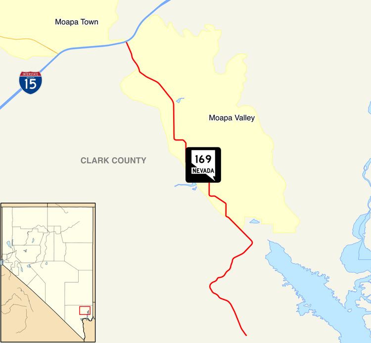
Map of NV-169, Moapa Valley, NV, USA
State Route 169 is the former State Route 12.
Major intersections
The entire route is in Clark County.
References
Nevada State Route 169 Wikipedia(Text) CC BY-SA