
Country United States GNIS feature ID 0735505 Zip code 65536 Population 130 (2010) | Time zone Central (CST) (UTC-6) Elevation 268 m Local time Friday 3:43 AM Area code 417 | |
 | ||
Weather -1°C, Wind N at 8 km/h, 76% Humidity Area 10.88 km² (10.62 km² Land / 21 ha Water) | ||
Bennett Springs is an unincorporated community and census-designated place in Dallas and Laclede counties, Missouri, United States. As of the 2010 census it had a population of 130. It lies 12 miles (19 km) west of Lebanon on Missouri Route 64. The community is named after a spring that is reported variously as the third or fourth largest in the state, with an average daily flow of about one hundred million gallons, and which is the centerpiece of Bennett Spring State Park.
Map of Bennett Springs, Spring Hollow Township, MO 65536, USA
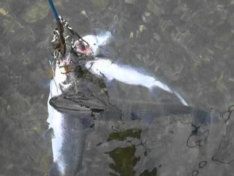
Bennett Spring State Park is one of the Missouri trout parks. The park features the largest spring of the four parks. Trout fishing, camping, and hiking are the main activities in the park, and the park also offers cabins, a swimming pool, nature center, and a full-service store.
An early variant name was "Brice", after James Brice, the proprietor of a local watermill. A post office called Brice was established in 1900, the name was changed to Bennett Springs in 1939, and the post office closed in 1966.