
Length 664.3 km | ||
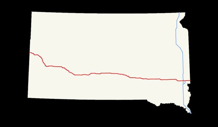 | ||
In the U.S. state of South Dakota, Interstate 90 traverses east–west through the southern half of the state.
Contents
Route description
Interstate 90 enters South Dakota in Lawrence County as a four-lane divided highway. It enters concurrently with U.S. Route 14, and passes through the town of Spearfish, where it shares another concurrency with U.S. Route 85 from exit 10 to exit 17. From there it passes several miles north and east of the tourist town of Deadwood before entering Meade County, going just to the west of Sturgis. Another concurrency is with South Dakota Highway 34 from exit 23 at Whitewood to exit 30, the west exit of Sturgis, where there starts a concurrency with SD 79. The freeway generally passes along the north and east edges of the Black Hills.
The route then enters Pennington County, where it passes through the northern edge of Rapid City, gateway to the Black Hills and the nearest passing to Mount Rushmore National Memorial, as well as other scenic attractions including Custer State Park and the Needles Highway. Rapid City is also where the interstate has its westernmost auxiliary route, Interstate 190, which links the interstate to the western edge of the downtown area. SD 79's concurrency ends at exit 61 on the east side of the city. From Rapid City, the route heads east, passing between Box Elder to the south and Ellsworth Air Force Base to the north before heading towards Wall on to Jackson County. Exits 110 and 131 for Badlands National Park to the south (SD 240) are within 15 miles (24 km) either way of the county line. The concurrency for US-14 ends at exit 112 just east of Wall; here US-14 runs due east and will connect to the city of Philip and the capital city of Pierre.
From there, the route passes mostly east–west through Jackson and Jones counties. There are short concurrencies with SD 73 (from the west entering Kadoka) and SD 63 in Jackson County. Interstate 90 crosses the Central Time/Mountain Time Zone boundary on the west edge of Jones County. Then at Murdo, a concurrency begins with U.S. Route 83 at exit 192 and continues to exit 212. It is in Lyman County, at exit 212 in Vivian, that the highway provides its closest link to the capital of Pierre, along US-83, some 35 miles (56 km) north. The road crosses the Missouri River at Lake Francis Case, between the towns of Oacoma and Chamberlain, also crossing into Brule County. I-90 Business Loop runs from exit 260 at Oacoma to downtown Chamberlain across the Missouri River on the nearby Chamberlain Bridge, and returns to I-90 at exit 265. Beginning there is a short concurrency with SD 50 heading to Pukwana, and also in Brule County is another short concurrency with SD 45 starting at Kimball.
I-90 then continues through Aurora County (connecting to White Lake and Plankinton), Davison County (where Mt. Vernon, Mitchell and the Corn Palace are located), Hanson County (Alexandria), and McCook County (Salem). Then comes the state's most populous county, Minnehaha. After passing the communities of Humboldt and Hartford, the interstate intersects the only other major interstate in the state, Interstate 29, at Sioux Falls, the largest city. Just east of Interstate 29 is where Interstate 90 meets the northern terminus of Interstate 229. East of Brandon and northeast of Valley Springs, it then ends its trip through South Dakota of 412 miles (663 km) before entering Minnesota and Rock County, just west of the towns of Beaver Creek and Manley.
Since April 2015 the speed limit is 80 miles per hour (130 km/h), except it is 65 miles per hour (105 km/h) between I-229 and Marion Road in Sioux Falls; or through Rapid City. The speed limit remains 75 miles per hour (121 km/h) between Rapid City and the Wyoming state line.
Codified law
The South Dakota section of I-90 is defined at South Dakota Codified Laws § 31-4-184.
Removal of exit 66
In the city of Box Elder, exit 66, which crossed South Dakota Highway 435, was closed on October 1, 2003. The partial cloverleaf interchange of exit 66 was also demolished. Since the closure, local citizens and officials feared the lack of entrances which access the Ellsworth Air Force Base. However, the move was made to emphasize their concerns regarding to commercial development and its concisions with the Ellsworth forces. Exit 67, which was constructed not too long before the closure of exit 66, is now used as the main entrance and exit feeder to the base.