
Area 9,021 km² Population 27,202 (2013) | Congressional district At-large Website www.meadecounty.org Founded 1889 Unemployment rate 3.7% (Apr 2015) | |
 | ||
Rivers Bear Butte Creek, Whitewood Creek, Boxelder Creek Points of interest Fort Meade, Bear Butte, Black Hills, Sturgis Motorcycle Museum, Wonderland Cave | ||
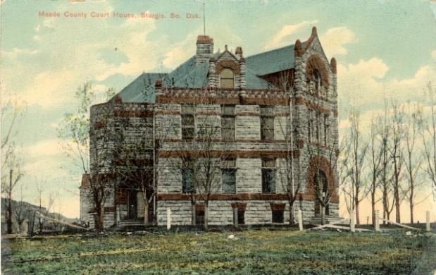
Meade County is a county located in the U.S. state of South Dakota. As of the 2010 census, the population was 25,434. Its county seat is Sturgis. The county was created in 1889 and was named for Fort Meade, which was garrisoned as a United States military post in the area in 1878 and was named for General George Meade.
Contents
- Map of Meade County SD USA
- Geography
- Major highways
- Adjacent counties
- National protected area
- 2000 census
- 2010 census
- Cities
- Census designated places
- Unincorporated communities
- Townships
- Unorganized territories
- References
Map of Meade County, SD, USA
Meade County is part of the Rapid City, SD Metropolitan Statistical Area.
Geography
According to the U.S. Census Bureau, the county has a total area of 3,483 square miles (9,020 km2), of which 3,471 square miles (8,990 km2) is land and 12 square miles (31 km2) (0.3%) is water. It is the largest county by area in South Dakota.
Major highways
Adjacent counties
National protected area
2000 census
As of the census of 2000, there were 24,253 people, 8,805 households, and 6,700 families residing in the county. The population density was 7 people per square mile (3/km²). There were 10,149 housing units at an average density of 3 per square mile (1/km²). The racial makeup of the county was 92.65% White, 1.48% Black or African American, 2.04% Native American, 0.63% Asian, 0.07% Pacific Islander, 0.61% from other races, and 2.52% from two or more races. 2.10% of the population were Hispanic or Latino of any race.
There were 8,805 households out of which 39.90% had children under the age of 18 living with them, 64.40% were married couples living together, 8.30% had a female householder with no husband present, and 23.90% were non-families. 19.90% of all households were made up of individuals and 7.50% had someone living alone who was 65 years of age or older. The average household size was 2.66 and the average family size was 3.05.
In the county, the population was spread out with 28.40% under the age of 18, 10.60% from 18 to 24, 29.60% from 25 to 44, 21.00% from 45 to 64, and 10.40% who were 65 years of age or older. The median age was 33 years. For every 100 females there were 102.20 males. For every 100 females age 18 and over, there were 101.60 males.
The median income for a household in the county was $36,992, and the median income for a family was $40,537. Males had a median income of $26,572 versus $20,517 for females. The per capita income for the county was $17,680. About 7.90% of families and 9.40% of the population were below the poverty line, including 11.80% of those under age 18 and 6.10% of those age 65 or over.
2010 census
As of the 2010 United States Census, there were 25,434 people, 9,903 households, and 7,067 families residing in the county. The population density was 7.3 inhabitants per square mile (2.8/km2). There were 11,000 housing units at an average density of 3.2 per square mile (1.2/km2). The racial makeup of the county was 92.0% white, 2.3% American Indian, 1.3% black or African American, 0.6% Asian, 0.1% Pacific islander, 0.8% from other races, and 2.9% from two or more races. Those of Hispanic or Latino origin made up 3.0% of the population. In terms of ancestry, 40.5% were German, 15.3% were Irish, 13.2% were Norwegian, 11.3% were English, and 6.9% were American.
Of the 9,903 households, 33.9% had children under the age of 18 living with them, 58.2% were married couples living together, 8.8% had a female householder with no husband present, 28.6% were non-families, and 23.6% of all households were made up of individuals. The average household size was 2.49 and the average family size was 2.93. The median age was 35.9 years.
The median income for a household in the county was $46,180 and the median income for a family was $54,200. Males had a median income of $34,113 versus $27,548 for females. The per capita income for the county was $22,045. About 6.6% of families and 10.1% of the population were below the poverty line, including 12.1% of those under age 18 and 10.1% of those age 65 or over.
Cities
Census-designated places
Unincorporated communities
Townships
The county is divided into seven townships:
Unorganized territories
The county contains three areas of unorganized territory: