
Country United States Incorporated 1965 Elevation 924 m Local time Friday 5:56 AM | Founded 1907 Time zone Mountain (MST) (UTC-7) Zip code 57719 Population 9,093 (2013) | |
 | ||
Weather -4°C, Wind W at 8 km/h, 82% Humidity | ||
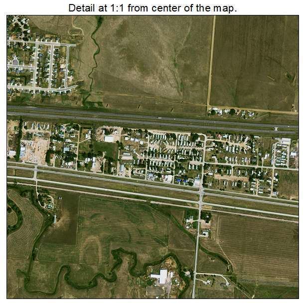
Box elder south dakota homes and community
Box Elder (Lakota: čhaŋšúška; "box elder maple") is a city in Meade and Pennington counties in the State of South Dakota. The population was 7,800 at the 2010 census. Ellsworth Air Force Base lies on the north side of the city.
Contents
- Box elder south dakota homes and community
- Map of Box Elder SD USA
- Geography
- 2010 census
- 2000 census
- Points of interest
- References
Map of Box Elder, SD, USA
Box Elder was named from nearby Boxelder Creek.
Geography
Box Elder is located at 44°6′55″N 103°4′55″W (44.115349, -103.081997).
According to the United States Census Bureau, the city has a total area of 13.91 square miles (36.03 km2), of which 13.90 square miles (36.00 km2) is land and 0.01 square miles (0.03 km2) is water.
Box Elder has been assigned the ZIP code 57719 and the FIPS place code 06620. It is located within minutes of Ellsworth AFB.
2010 census
As of the census of 2010, there were 7,800 people, 2,443 households, and 1,968 families residing in the city. The population density was 561.2 inhabitants per square mile (216.7/km2). There were 2,828 housing units at an average density of 203.5 per square mile (78.6/km2). The racial makeup of the city was 79.5% White, 5.1% African American, 4.4% Native American, 2.2% Asian, 0.4% Pacific Islander, 2.4% from other races, and 6.0% from two or more races. Hispanic or Latino of any race were 7.9% of the population.
There were 2,443 households of which 55.2% had children under the age of 18 living with them, 60.6% were married couples living together, 14.1% had a female householder with no husband present, 5.8% had a male householder with no wife present, and 19.4% were non-families. 15.1% of all households were made up of individuals and 2% had someone living alone who was 65 years of age or older. The average household size was 2.95 and the average family size was 3.26.
The median age in the city was 23.5 years. 33.6% of residents were under the age of 18; 20.4% were between the ages of 18 and 24; 30.3% were from 25 to 44; 13% were from 45 to 64; and 2.9% were 65 years of age or older. The gender makeup of the city was 51.9% male and 48.1% female.
2000 census
As of the census of 2000, there were 2,841 people, 993 households, and 750 families residing in the city. The population density was 489.6 inhabitants per square mile (189.1/km²). There were 1,072 housing units at an average density of 184.8 per square mile (71.4/km²). The racial makeup of the city was 83.42% White, 2.29% African American, 5.60% Native American, 2.08% Asian, 0.11% Pacific Islander, 0.70% from other races, and 5.81% from two or more races. Hispanic or Latino of any race were 3.56% of the population.
There were 993 households out of which 48.0% had children under the age of 18 living with them, 50.4% were married couples living together, 19.6% had a female householder with no husband present, and 24.4% were non-families. 17.3% of all households were made up of individuals and 1.8% had someone living alone who was 65 years of age or older. The average household size was 2.86 and the average family size was 3.20.
In the city, the population was spread out with 34.6% under the age of 18, 13.1% from 18 to 24, 30.9% from 25 to 44, 18.2% from 45 to 64, and 3.3% who were 65 years of age or older. The median age was 26 years. For every 100 females there were 98.9 males. For every 100 females age 18 and over, there were 95.7 males.
As of 2000 the median income for a household in the city was $32,344, and the median income for a family was $35,020. Males had a median income of $24,596 versus $17,313 for females. The per capita income for the city was $12,692. About 13.0% of families and 15.9% of the population were below the poverty line, including 21.3% of those under age 18 and 6.9% of those age 65 or over.