
Basin countries United States Area 412.8 km² Length 172.2 km | Max. length 107 mi (172 km) Surface elevation 417 m Catchment area 682,411 km² | |
 | ||
Primary inflows Surface area 102,000 acres (41,000 ha) Inflow source White River, Missouri River | ||
Ice fishing lake francis case sd in depth outdoors tv season 8 episode 7
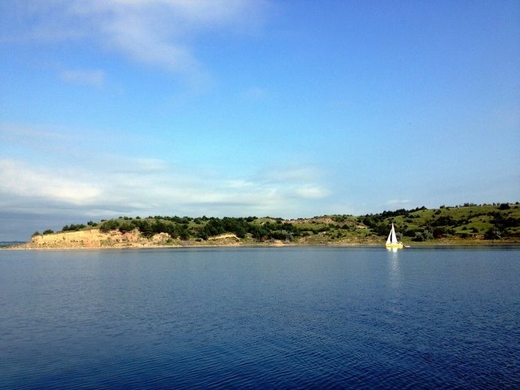
Lake Francis Case is a large reservoir behind Fort Randall Dam on the Missouri River in south-central South Dakota, USA. The lake has an area of 102,000 acres (410 km2) and a maximum depth of 140 ft (43 m). Lake Francis Case has a length of approximately 107 mi (172 km) and has a shoreline of 540 mi (870 km). The reservoir is named for former South Dakota Senator Francis Higbee Case.
Contents
- Ice fishing lake francis case sd in depth outdoors tv season 8 episode 7
- Map of Lake Francis Case South Dakota USA
- 11 14 14 lake francis case sd walleye fishing
- References
Map of Lake Francis Case, South Dakota, USA
Species of fish in the reservoir include walleye, northern pike, sauger, sunfish, yellow perch, common carp, black bullhead, channel catfish, and smallmouth bass.
The South Dakota Department of Game, Fish and Parks maintains the North Point, Pease Creek, North Wheeler, Platte Creek, Snake Creek and Buryanek Recreation Areas along Lake Francis Case.
Several major highways cross the reservoir. South Dakota Highway 44 crosses over the lake between rural Charles Mix County and Gregory County on the longest bridge in South Dakota, and Interstate 90 crosses the reservoir between Chamberlain and Oacoma.