
Named for George W. Jones Congressional district At-large Area 2,515 km² Population 1,001 (2013) | Founded 1916 Unemployment rate 3.4% (Apr 2015) | |
 | ||
Rivers White River, Bad River, Herd Camp Creek, Yukmi Creek | ||
Jones County is a county located in the U.S. state of South Dakota. As of the 2010 census, the population was 1,006, making it the least populous county in South Dakota. Its county seat is Murdo. Created in 1916 and organized in 1917, it is the most recently established county in South Dakota.
Contents
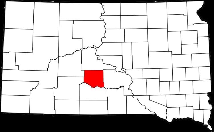
- Map of Jones County SD USA
- Geography
- Major highways
- Adjacent counties
- National protected area
- 2000 census
- 2010 census
- City
- Town
- Census designated place
- Unincorporated community
- Townships
- Unorganized territories
- References
Map of Jones County, SD, USA
Geography
According to the U.S. Census Bureau, the county has a total area of 971 square miles (2,510 km2), of which 970 square miles (2,500 km2) is land and 1.2 square miles (3.1 km2) (0.1%) is water.
Major highways
Adjacent counties
National protected area
2000 census
As of the census of 2000, there were 1,193 people, 509 households, and 327 families residing in the county. The population density was 1 people per square mile (0/km²). There were 614 housing units at an average density of 1 per square mile (0/km²). The racial makeup of the county was 95.81% White, 2.43% Native American, 0.08% Pacific Islander, 0.17% from other races, and 1.51% from two or more races. 0.34% of the population were Hispanic or Latino of any race.
There were 509 households out of which 29.30% had children under the age of 18 living with them, 53.20% were married couples living together, 7.50% had a female householder with no husband present, and 35.60% were non-families. 33.20% of all households were made up of individuals and 15.10% had someone living alone who was 65 years of age or older. The average household size was 2.34 and the average family size was 2.98.
In the county, the population was spread out with 26.20% under the age of 18, 6.20% from 18 to 24, 25.50% from 25 to 44, 23.90% from 45 to 64, and 18.20% who were 65 years of age or older. The median age was 41 years. For every 100 females there were 103.90 males. For every 100 females age 18 and over, there were 102.80 males.
The median income for a household in the county was $30,288, and the median income for a family was $37,500. Males had a median income of $23,289 versus $17,143 for females. The per capita income for the county was $15,896. About 11.90% of families and 15.80% of the population were below the poverty line, including 27.60% of those under age 18 and 7.10% of those age 65 or over.
2010 census
As of the 2010 United States Census, there were 1,006 people, 458 households, and 280 families residing in the county. The population density was 1.0 inhabitant per square mile (0.39/km2). There were 589 housing units at an average density of 0.6 per square mile (0.23/km2). The racial makeup of the county was 95.6% white, 2.0% American Indian, 0.4% Pacific islander, 0.1% black or African American, 0.0% from other races, and 1.9% from two or more races. Those of Hispanic or Latino origin made up 1.3% of the population. In terms of ancestry, 48.8% were German, 15.9% were Irish, 10.2% were Norwegian, 9.0% were Dutch, and 1.9% were American.
Of the 458 households, 26.6% had children under the age of 18 living with them, 53.7% were married couples living together, 5.2% had a female householder with no husband present, 38.9% were non-families, and 35.8% of all households were made up of individuals. The average household size was 2.20 and the average family size was 2.86. The median age was 46.9 years.
The median income for a household in the county was $49,464 and the median income for a family was $56,589. Males had a median income of $33,021 versus $27,115 for females. The per capita income for the county was $24,630. About 6.6% of families and 9.1% of the population were below the poverty line, including 16.7% of those under age 18 and 8.4% of those age 65 or over.
City
Town
Census-designated place
Unincorporated community
Townships
The county is divided into thirteen townships:
Unorganized territories
The county contains four areas of unorganized territory: