
Type Highway Length 696 km | ||
 | ||
Route number(s) A7Rolleston - Roma A55Roma - St George National Route 46St George - Qld/NSW borderNo shieldQld/NSW border - Moree Major settlements Injune, Surat, St George, Mungindi | ||
The Carnarvon Highway is a state highway of Queensland, Australia, linking Moree south of the NSW/QLD border, via the town of St George, eventually to the township of Rolleston. Formerly, north of Roma it was known as the Carnarvon Developmental Road. National Route 46 runs from Mungindi to the Castlereagh Highway just south of St George. From here, the A55 continues north, through St George and Surat to Roma. The A7 then continues north from Roma to Rolleston, which continues along the Dawson Highway and Gregory Highway to Emerald and Charters Towers.
Contents
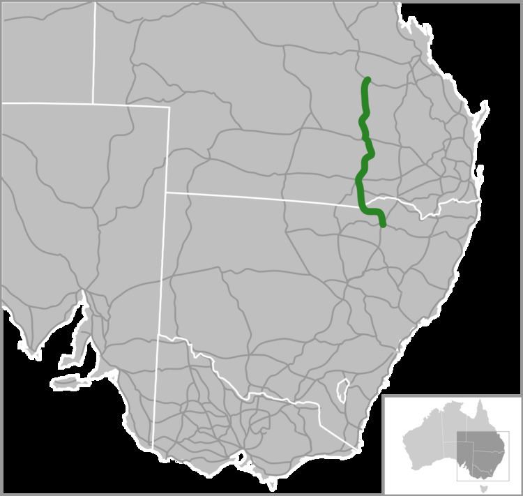
Map of Carnarvon Hwy, Australia
It is the main access road to the Carnarvon National Park.
Route numbering
National Route 55 (NR55) was a former north-south route through central northern New South Wales and central Queensland, connecting the Newell Highway at Gilgandra with Walgett, St George, Roma, Emerald and Charters Towers. The highway was a strategic route to take B-doubles and other large vehicles (which cannot use the Bruce Highway) to the Queensland ports north of Rockhampton.
Today, NR55 no longer exists, having been replaced by the alpha-numeric designation A55 within Queensland during 2004 and the alpha-numeric designation B55 within New South Wales in 2013. A7 replaced the northern section of the (former NR55) Carnarvon Highway between Rolleston and Roma with the section between Roma and just south of St George being the part designated as A55. National Route 46, extends from just south of St George to Mungindi. National Route 46 was decommissioned in New South Wales in 2013, with no replacement route designated.
NR55 signs were first erected in New South Wales between Gilgandra and Walgett. It had then been extended from Walgett to the Queensland border at Hebel, in the late 1970s - where it originally terminated.
NR55 first appeared in Queensland on the Gregory and Dawson Highways, between Emerald and Rolleston, during the early 1980s.
This is where for many years there was an oddity between the Queensland and New South Wales interpretation of the path that NR55 would take. It created the situation where the southern end of route NR55 (Carnarvon Highway) was located over 100 kilometres (62 mi) east from the northern end of route NR55 (Castlereagh Highway).
Eventually, NR55 was taken as an extension of the Castlereagh Highway between the Queensland/New South Wales border and St George. With the change in alphanumeric route numbering in the mid-2000s, NR55 runs between just south of St George and Roma as A55, and was replaced with National Route 46 between St George and Mungindi, and the A7 between Roma and Rolleston.