
Type Highway | Opened 1928 Length 567 km | |
 | ||
Formerroute number National Route 38 (1962-2013)Entire Route East end Pacific HighwayGrafton, New South Wales Major settlements Collarenebri, Moree, Warialda, Inverell, Glen Innes | ||
The Gwydir Highway is a 566-kilometre (352 mi) state highway in northern New South Wales, Australia.
Contents
Map of Gwydir Hwy, New South Wales, Australia
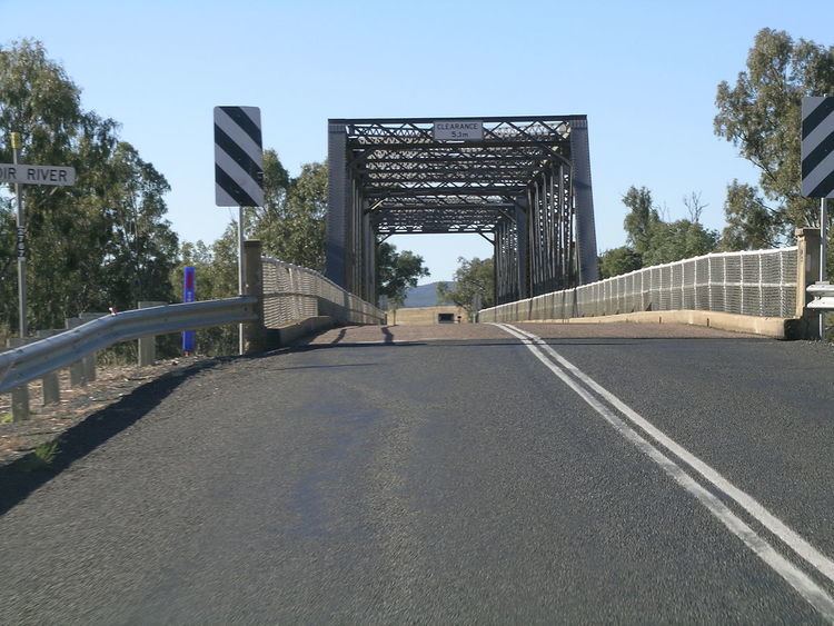
The highway was named after the Gwydir River, which in turn was named for a locale in Wales.
Route
The Gwydir Highway traverses the New England region from the inland plains to the coastal region, linking the Castlereagh Highway, Collarenebri, Moree, Warialda, Inverell, Glen Innes and Grafton. The western termination of the highway is at the junction of the Castlereagh Highway, 14 kilometres (8.7 mi) north of Walgett.
At Moree it intersects the Newell Highway. At Inverell it has an intersection with Thunderbolts Way. At Glen Innes it intersects the New England Highway. At Grafton on the Clarence River, it joins the Pacific Highway, the Summerland Way and the Orara Way. Between Glen Innes and Grafton, the Gwydir Highway runs between the Gibraltar Range and Washpool National Parks.