
Population 149 (2006 census) Postal code 4486 | Postcode(s) 4486 Local time Sunday 11:49 AM | |
 | ||
Location 674 km (419 mi) WSW of Brisbane145 km (90 mi) SW of St George, Queensland69 km (43 mi) N of Lightning Ridge (NSW) Weather 29°C, Wind NE at 21 km/h, 48% Humidity | ||
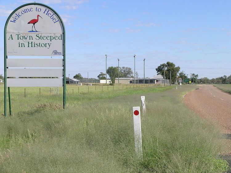
Hebel is a town and locality in Balonne Shire, Queensland, Australia. At the 2006 census, Hebel and the surrounding area had a population of 149.
Contents
Map of Hebel QLD 4486, Australia
Geography
Hebel is in South West Queensland situated 4 kilometres (2 mi) north of the border with New South Wales on the Castlereagh Highway.
Hebel is close to the well known opal mines of Lightning Ridge. In the east of Hebel is the Culgoa River and Culgoa Floodplain National Park.
History
It was reputedly named after a German immigrant Noble Van Hebel. Hebel helped stage the coaches for Cobb and Co.
Curriwillinghi Post Office opened on 1 January 1864. It was replaced in 1889 by Hebel Post Office which closed in 1989.
The Hebel State School opened on 1 April 1901.
Facilities
Visitors to the village will find a general store, caravan park, hotel, public library and coffee shop.
Hebel State School is a government co-educational primary (P-6) school in Maud Street. In 2015, it had an enrolment of 11 students with 2 teachers (1 full-time equivalent) and 5 non-teaching staff (2 full-time equivalent).