
Type Highway Length 182 km (113 mi) | Route number(s) B86 | |
 | ||
Coordinates (north end) (south end) Major settlements | ||
The Yorke Highway is the main road from Adelaide to the southern parts of the Yorke Peninsula in South Australia. It runs from the northeast to the southwest of the peninsula. It branches off of the Copper Coast Highway after rounding the top of Gulf St Vincent, runs down the coast to Ardrossan then inland through Maitland to the Spencer Gulf coast at Hardwicke Bay then through Warooka to the south coast at Marion Bay and Stenhouse Bay on Investigator Strait.
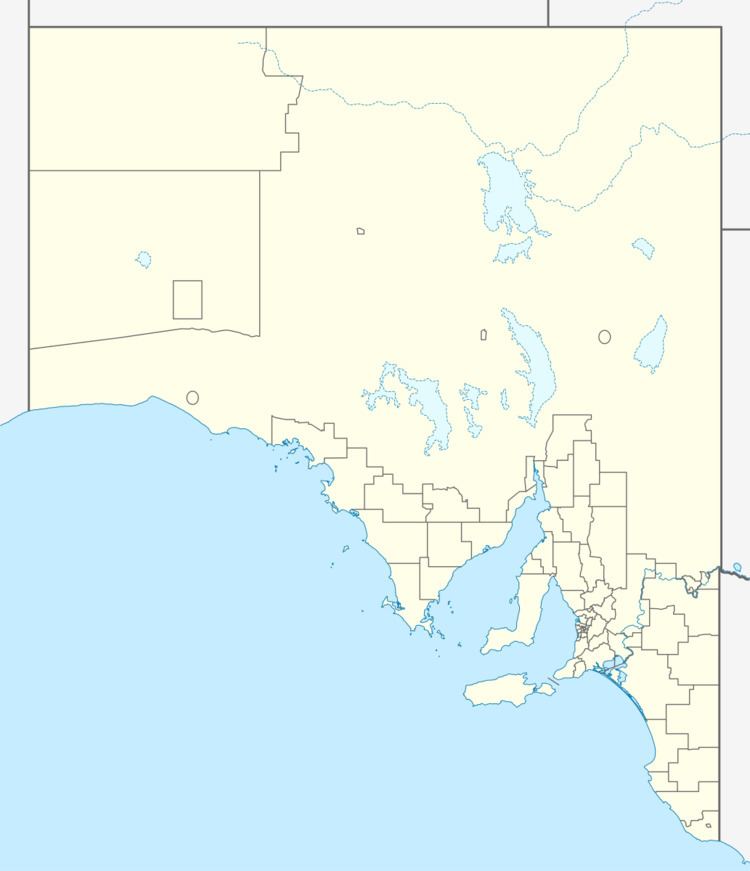
Map of Yorke Hwy, South Australia, Australia
The state government proposes to restructure the intersection at the north end of the Yorke Highway to provide a large roundabout instead of it being the terminating road at a tee-junction. The roundabout will permit road trains to operate between Port Wakefield and Ardrossan which had previously not been permitted due to limitations of that intersection. Subsidiary works will improve the Yorke Highway north of Ardrossan with a widened bridge, sealed shoulders and overtaking lanes. Road trains up to 36.5 metres (120 ft) were previously permitted to operate on the Augusta Highway through Port Wakefield north towards Port Pirie and beyond, and from Ardrossan south to Port Giles, but were not permitted to operate north of Ardrossan to the Augusta Highway, limiting the capacity to transport grain or minerals.
Rex Minerals propose to realign the Yorke Highway and move the intersection with the St Vincent Highway closer to Pine Point as part of the construction of the Hillside mine. What is now the northern end of the St Vincent Highway would move to a new alignment closer to the coast, with the Yorke Highway turning inland at the southern (Pine Point Road) end of this diversion instead of near the northern end.