Max. width 61.15 km (38.00 mi) Area 6,800 km² | Type Gulf Max. length 138.9 km (86.3 mi) Surface area 6,800 km (2,600 sq mi) | |
 | ||
Underwater camera footage gulf st vincent
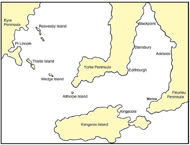
Gulf St Vincent is a large inlet of water on the southern coast of Australia, in the state of South Australia. It is bordered by Yorke Peninsula on its west, the mainland and Fleurieu Peninsula to its east and with its entrance as being a line from Troubridge Point on Yorke Peninsula to Cape Jervis on Fleurieu Peninsula.
Contents
Adelaide, the South Australian capital, lies midway along the gulf's east coast. Other towns located on the gulf, from west to east include Edithburgh, Port Vincent, Ardrossan and Port Wakefield and Normanville. It was named "Gulph of St. Vincent" by Matthew Flinders on 30 March 1802, in honour of Admiral John Jervis (1st Earl of St Vincent). Prior to then, it had been known as Golphe Josephine.
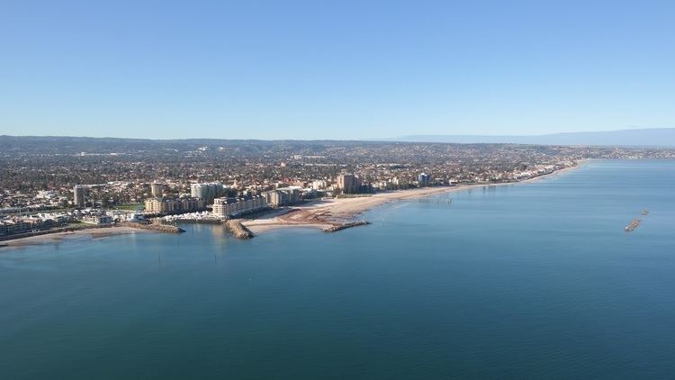
The Adelaide Desalination Plant which is located on Gulf St Vincent's eastern shore in Lonsdale, South Australia, supplies the Adelaide metropolitan area with desalinated water from the gulf. It officially opened in 2013.
Environment

The Gulf teems with crustacea and polychaeta, as well as various species of sea squirts and sea urchins. The benthos is a soft sediment shelf, with species of zosteraceae around the mouth of the Port River.