
Established 1840s Population 25,143 (2005) | Website Yorke Peninsula | |
 | ||
LGA(s) Yorke Peninsula CouncilDistrict Council of the Copper CoastDistrict Council of Barunga West | ||
Saigonese yorke peninsula sa
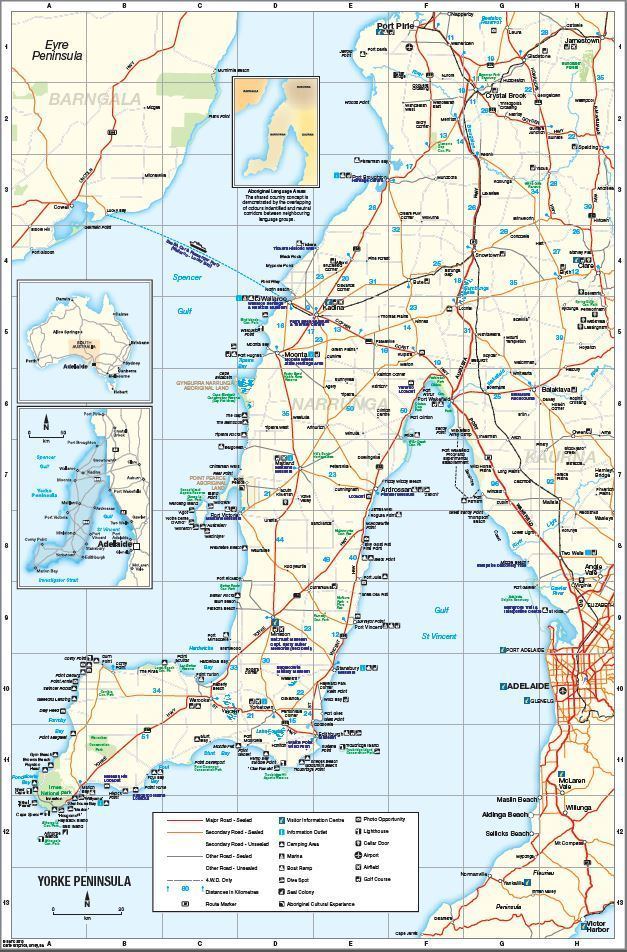
The Yorke Peninsula is a peninsula located north-west and west of Adelaide in South Australia, between Spencer Gulf on the west and Gulf St Vincent on the east. The peninsula is separated from Kangaroo Island to the south by Investigator Strait. The most populous town in the region is Kadina.
Contents
- Saigonese yorke peninsula sa
- Overview
- Agriculture
- Yorke Peninsula Field Days
- Physiography
- Shipping
- Notable residents past and present
- Statutory reserves
- Important Bird Areas
- References
Overview
Yorke Peninsula was named by Captain Matthew Flinders, R.N., after the Right Honourable Charles Philip Yorke (1764–1834) (later Lord Hardwicke), narrowly beating French navigator Captain Nicolas Baudin (who preferred the name 'Cambaceres Peninsula').
Before white settlement around 1840, Yorke Peninsula was the home to the Narungga people. Today the descendants of these people still live on Yorke Peninsula, supported by the Narungga Aboriginal Progress Association in Maitland, and in the community at Point Pearce.
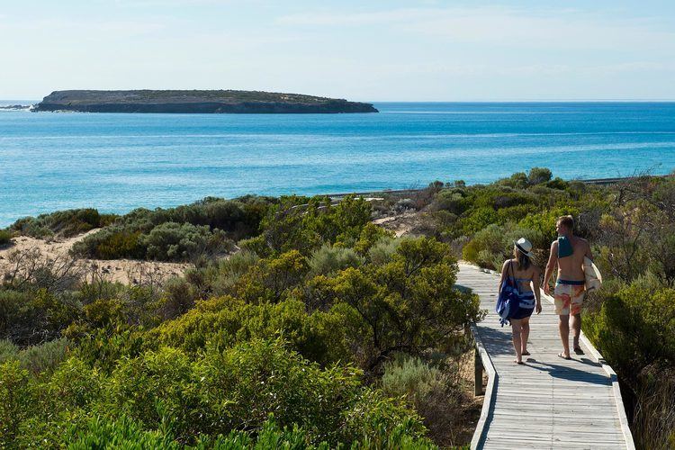
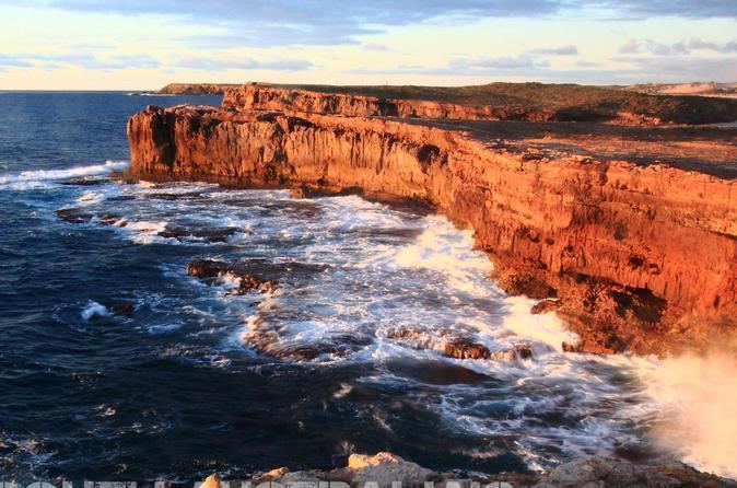
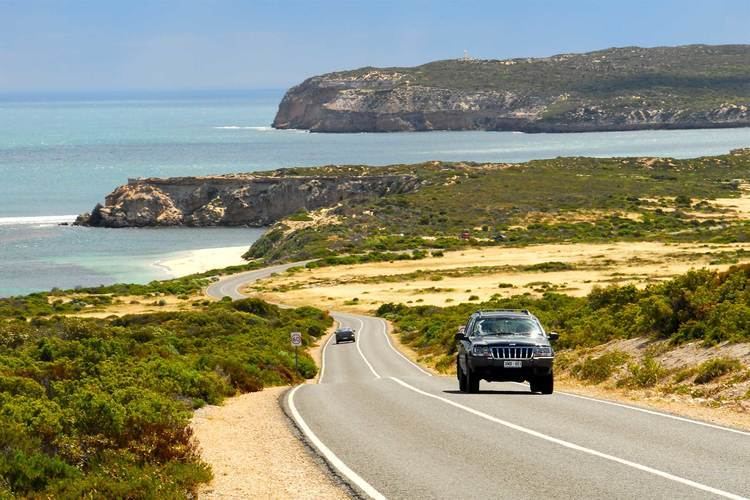
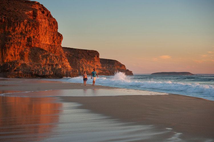
Principal towns include the Copper Coast towns of Kadina, Moonta and Wallaroo; farming centres of Maitland, Minlaton and Yorketown; and the port of Ardrossan. A number of smaller coastal towns are popular destinations for fishing and holidays, particularly from Adelaide. The south-western tip is occupied by Innes National Park.
Agriculture
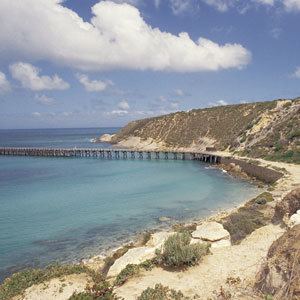
Yorke Peninsula is a major producer of grain, particularly barley and the Peninsula's grain crops are worth more than $290 million annually. Historically this has been sent out by sea because there are no rail services. Most coastal towns on the peninsula have substantial jetties. In the past these were used by ketches, schooners, and later steamships, to collect the grain in bags, and deliver fertiliser and other supplies. As roads in the region improved, and freight-handling techniques changed from bags to bulk, this became obsolete. A deep-water port was opened in 1970 near the south-eastern tip at Port Giles to export grain in bulk, and almost all the other ports ceased to be used for freight in the 1950s and 1960s. The only other ports with bulk-handling facilities are Wallaroo at the north-western side, and Ardrossan at the top of Gulf St Vincent, also used to ship dolomite from a nearby mine for OneSteel. Maitland has a grain-receiving depot operated by AWB, serviced only by road.
Wine production commenced on the Peninsula during the 1990s taking advantage of the rich grey, limestone-based soil.
Yorke Peninsula Field Days
Acknowledged as Australia's oldest Field Days, the Yorke Peninsula Field Days have been held since 1894. The Field Days site just outside Paskeville is a hive of agricultural activity every 2 years, at the end of September.
Physiography
The area is also known as the Yorke Horst, which is distinct physiographic section of the larger South Australian Shatter Belt province, which in turn is part of the larger West Australian Shield physiographic division. Along with Cape Eyre the peninsula is also part of the Eyre Yorke Block bioregion.
Shipping
As of 2015, a daily ferry service operates between Wallaroo and Lucky Bay, near Cowell on Eyre Peninsula.
Notable residents - past and present
Statutory reserves
The following reserves are located within the peninsula or immediately adjoin its coastline:
Important Bird Areas
Yorke Peninsula hosts two Important Bird Areas (IBA): the Gulf St Vincent Important Bird Area and the Southern Yorke Peninsula Important Bird Area. The Gulf St Vincent IBA covers a strip of intertidal land from Ardrossan to the head of Gulf St Vincent and onto the east coast of the gulf. The Southern Yorke Peninsula IBA covers most of the southern western tip of the Peninsula and overlaps Innes National Park and Warrenben Conservation Park.